Salinas of the English Port, Maio
Map
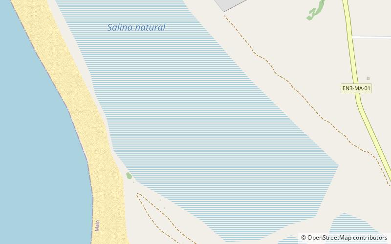
Map

Facts and practical information
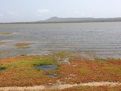
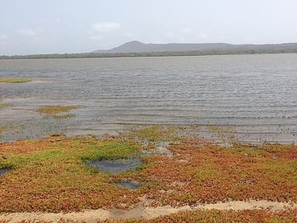
Salinas of the English Port is a saline wetland in the southwestern part of the island of Maio, Cape Verde, northwest of the city Porto Inglês. It is a 5.34 km2 protected area and a Ramsar site. It encompasses ecological, landscape, historical and cultural values. The site is frequented by species of birds of conservation interest, some of them protected by national laws and international conventions, and some endemic to the archipelago. ()
Coordinates: 15°9'14"N, 23°13'30"W
Address
Maio
ContactAdd
Social media
Add
Day trips
Salinas of the English Port – popular in the area (distance from the attraction)
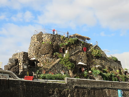
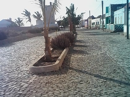
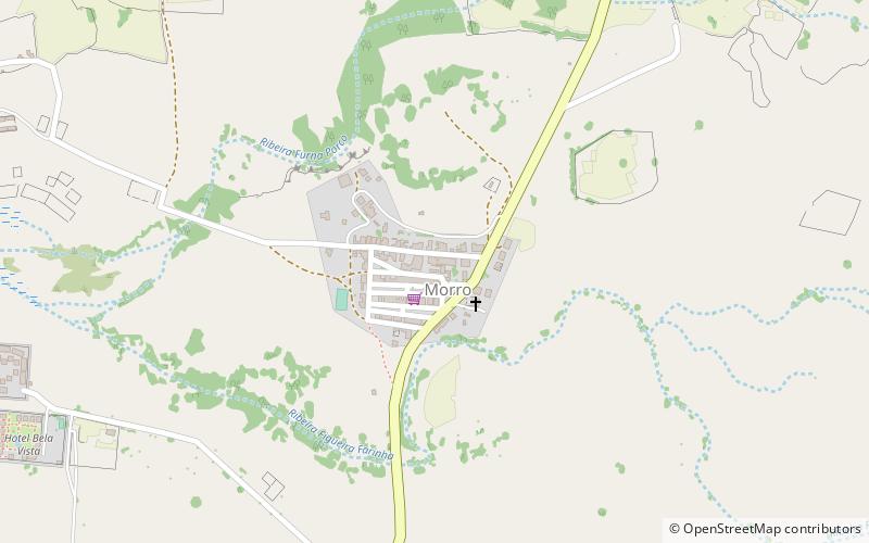
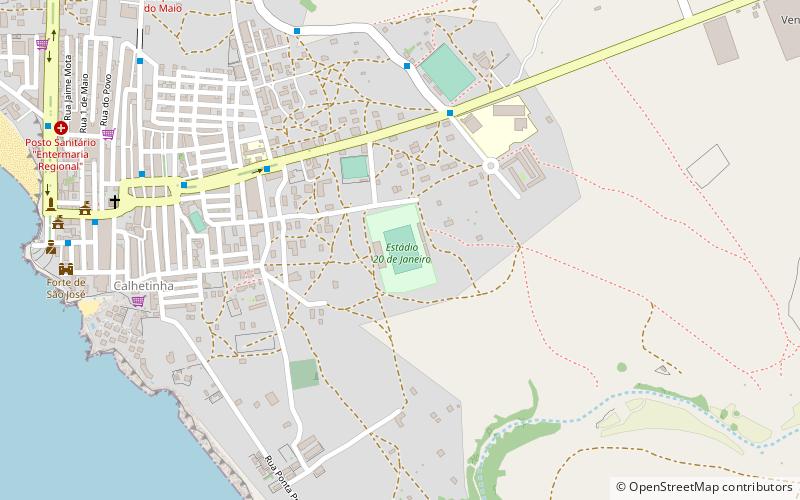
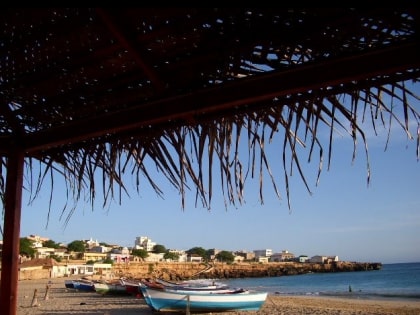
Nearby attractions include: Forte de São José, Monte Batalha, Calheta, Morro.
Frequently Asked Questions (FAQ)
How to get to Salinas of the English Port by public transport?
The nearest stations to Salinas of the English Port:
Ferry
Ferry
- Pier da ilha do MAIO (27 min walk)
