Alto Mira, Santo Antão
Map
Map

Facts and practical information
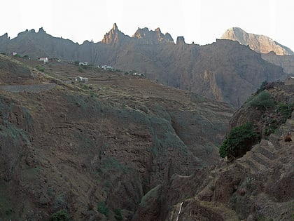
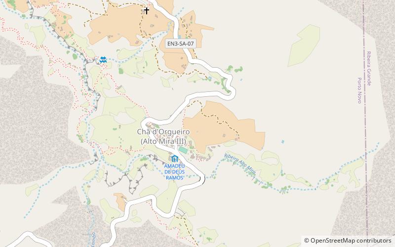
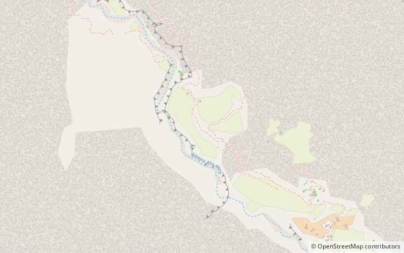
Alto Mira is a settlement in the northwestern part of the island of Santo Antão, Cape Verde. It is situated 4 km southeast of Ribeira da Cruz and 18 km northwest of the island capital Porto Novo. Its population was 1,003 at the 2010 census. The Moroços Natural Park lies east of the settlement. The settlement is divided into several localities, including Chã Bonita, Chã Daurinca, Chã de Dragoeiro, Dominguinhas, Faial and Lombo Gorado. The Ribeira Alto Mira flows through the settlement. ()
Address
Santo Antão
ContactAdd
Social media
Add
Day trips
Alto Mira – popular in the area (distance from the attraction)
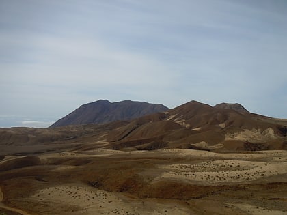
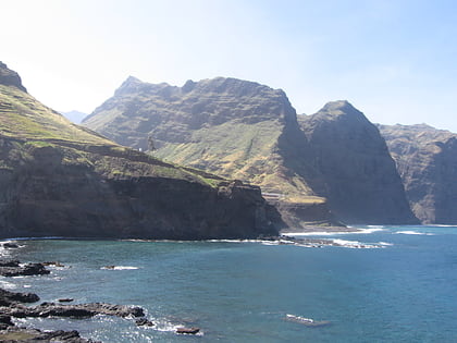
Nearby attractions include: Topo da Coroa, Cruzinha, Gudo de Cavaleiro, Moroços.
