São Martinho Grande, Santiago
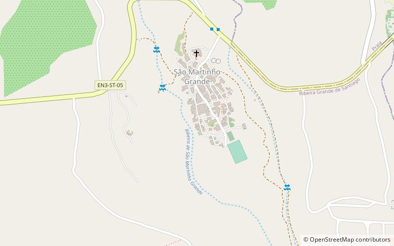
Map
Facts and practical information
São Martinho Grande is a settlement in the southern part of the island of Santiago, Cape Verde, and part of the municipality Ribeira Grande de Santiago. It is 4 km east from Cidade Velha and 6.5 km west of Praia city centre. National road EN1-ST05 passes north of it. 1.5 km to its south is Calheta de São Martinho, a small bay of the Atlantic Ocean. It was mentioned as "Kalyete de S. Martin" on the 1747 map by Jacques-Nicolas Bellin. ()
Coordinates: 14°55'24"N, 23°34'7"W
Address
Santiago
ContactAdd
Social media
Add
Day trips
São Martinho Grande – popular in the area (distance from the attraction)
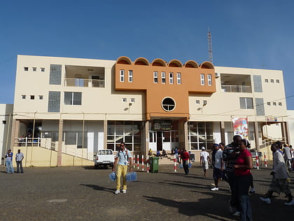
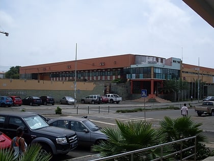
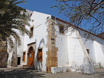
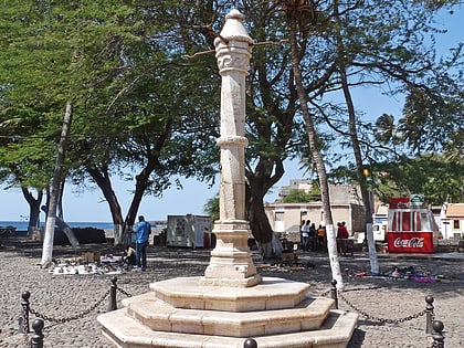
Nearby attractions include: Estádio da Várzea, Gimnodesportivo Vavá Duarte, Nossa Senhora do Rosário church, Pelourinho.
