Praia da Chave
#5 among destinations in Cape Verde
Facts and practical information
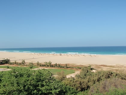
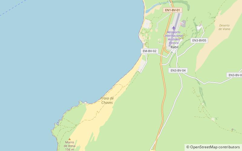
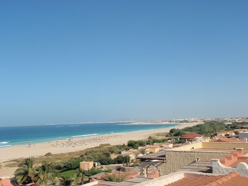
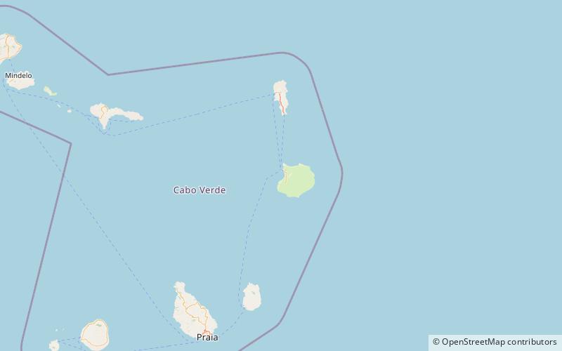
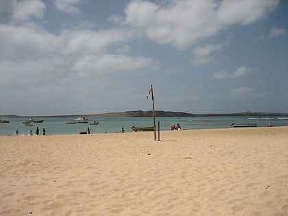
Praia de Chaves is a beach in the western part of the island of Boa Vista in Cape Verde, close to the town Rabil. It is about 5 km long. ()
Boa VistaCape Verde
Praia da Chave – popular in the area (distance from the attraction)
Nearby attractions include: Nossa Senhora da Conceição church, Morro de Areia Nature Reserve, Praia da Varandinha, Praia Grande.
 Church
Nossa Senhora da Conceição church, Boa Vista
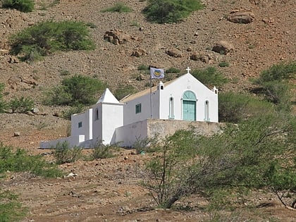
135 min walk • Nossa Senhora da Conceição church is a church at the southeastern edge of the village Povoação Velha, on the island of Boa Vista, Cape Verde. It sits at the foot of the mountain Rocha Estância.
 Mountain
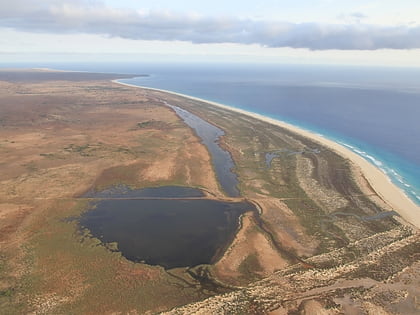
Morro de Areia Nature Reserve, Boa Vista
79 min walk • Morro de Areia Nature Reserve is a nature reserve covering the southwestern coast of the island of Boa Vista in Cape Verde. It takes its name from the hill Morro de Areia, 167 m elevation.
 Beach
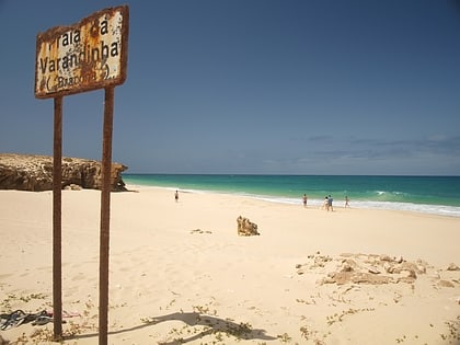
BeachPraia da Varandinha
128 min walk • Praia da Varandinha is a beach on the southwest coast of the island of Boa Vista in Cape Verde. It lies north of the headland Ponta Varandinha. The beach forms part of the protected area Morro de Areia Nature Reserve.
 Beach
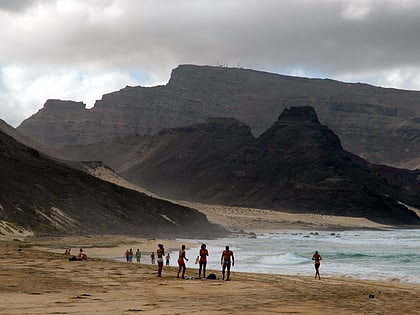
BeachPraia Grande, Boa Vista
4 min walk • Praia Grande is a large beach on the northeast coast of the island of São Vicente, Cape Verde. It is 1.5 km northwest of the village Calhau. The white sandy beach is surrounded by volcanic rocks. It is accessible by road from Calhau and Baía das Gatas.
 Nature, Natural attraction, Mountain
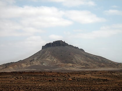
Monte Santo António, Boa Vista
143 min walk • Monte Santo António is a mountain in the southwestern part of the island Boa Vista in Cape Verde. At 379 m elevation, it is the island's second highest point. Like Rocha Estância and Monte Estância, it rises steeply from the surrounding plains.
 Forts and castles
Forte Duque de Bragança
45 min walk • Forte Duque de Bragança is a ruined fort located on the islet Ilhéu de Sal Rei off the northwestern coast of the island of Boa Vista, Cape Verde. The fort was named after the Duke of Bragança.
 Village
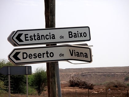
Estância de Baixo, Boa Vista
88 min walk • Estância de Baixo is a settlement in the western part of the island of Boa Vista, Cape Verde. Its population was 578 in 2010, making it the island's third most populated place. The village is around 6 km southeast of the island capital of Sal Rei, west of the Deserto de Viana, on the eastern bank of Ribeira do Rabil.
 Neighbourhood
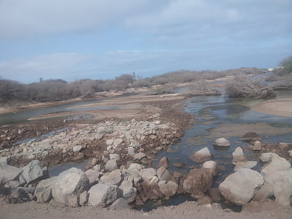
Lagoa do Rabil, Sal Rei
74 min walk • The Lagoa do Rabil is a wetland site in the Cape Verde archipelago, on the island of Boa Vista. It has been recognised as a wetland of international importance by designation under the Ramsar Convention since 2005.
 Arenas and stadiums, Sport venue, Sport
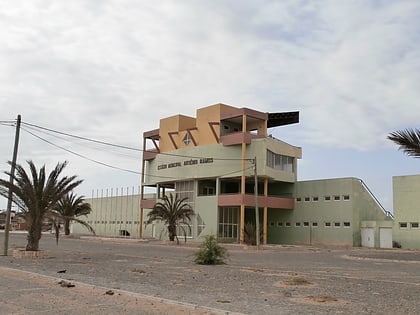
Estádio Municipal Arsénio Ramos, Boa Vista
119 min walk • Estádio Municipal Arsénio Ramos is a multi-use stadium in Boa Vista, Cape Verde used for both football and athletics. Its location is northeast of the town center south of the town perimeter road, a bypass connecting the port and places in the east and south of the island.
 Island
Ilhéu de Sal Rei, Sal Rei
105 min walk • Ilhéu de Sal Rei is an uninhabited islet near the coast of Boa Vista Island, Cape Verde. It is located 1 km southwest of the island capital Sal Rei. Its area is 89 ha and its highest point is 27 m.
