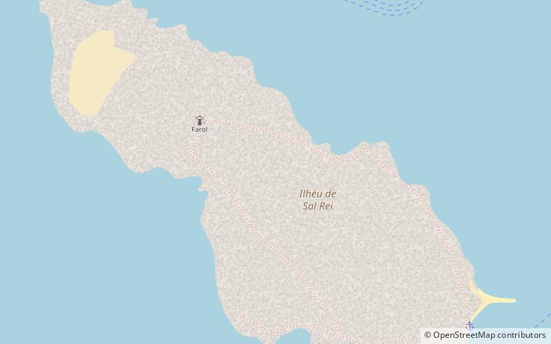
Ilhéu de Sal Rei, Sal Rei
Gallery (1)
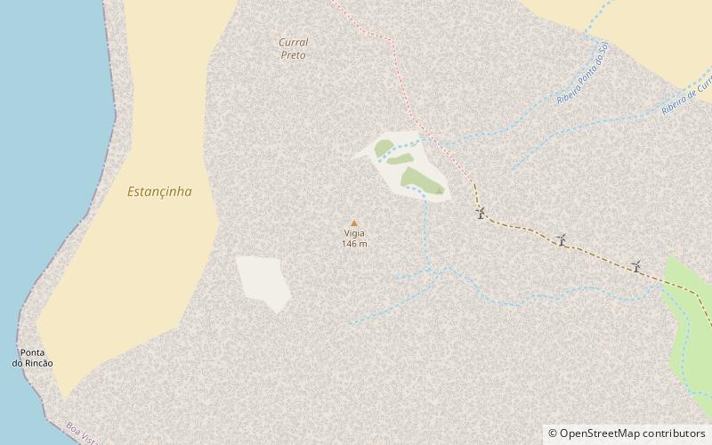
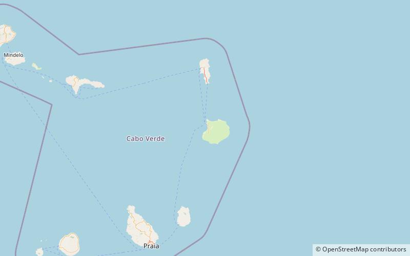
Map
Map
Facts and practical information
Ilhéu de Sal Rei is an uninhabited islet near the coast of Boa Vista Island, Cape Verde. It is located 1 km southwest of the island capital Sal Rei. Its area is 89 ha and its highest point is 27 m. ()
Alternative names: Area: 148.26 acres (0.2317 mi²)Maximum elevation: 89 ftCoordinates: 16°10'16"N, 22°55'47"W
Address
Sal Rei
ContactAdd
Social media
Add
Day trips