Cova, Santo Antão
Map
Map

Facts and practical information
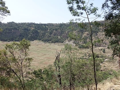
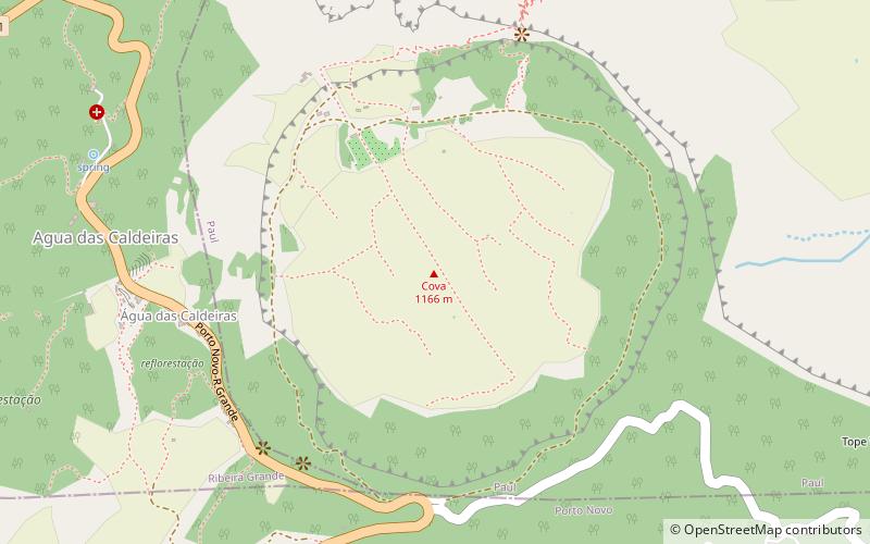
Cova is a volcanic caldera in the eastcentral part of the island of Santo Antão in Cape Verde. It is situated at the southwestern end of the municipality of Paul. Its lowest point is 1,166 meters, and the highest point of the crater rim is about 1,500 m. The diameter of the caldera is about 1.0 km. It forms a part of Cova-Paul-Ribeira da Torre Natural Park. The Cova formation dates from between 1.4 million and 700,000 years ago. ()
Elevation: 3825 ftCoordinates: 17°6'28"N, 25°3'46"W
Address
Santo Antão
ContactAdd
Social media
Add
Day trips
Cova – popular in the area (distance from the attraction)
Nearby attractions include: Pico da Cruz, Fontainhas, Coculi, Lombo de Santa.
