Pico da Cruz, Santo Antão

Gallery (2)
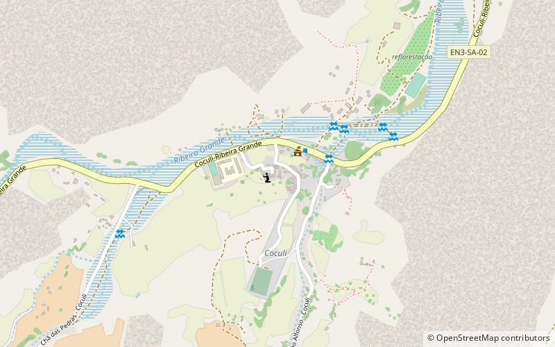
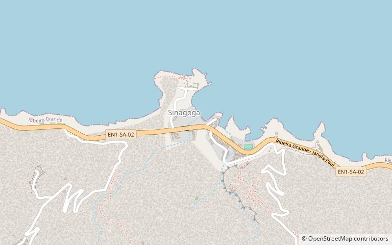
Map
Map
Gallery
Facts and practical information
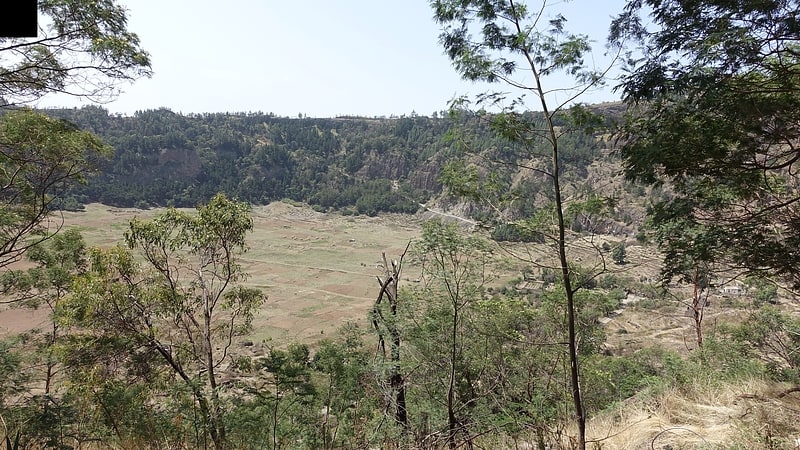
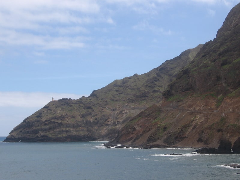
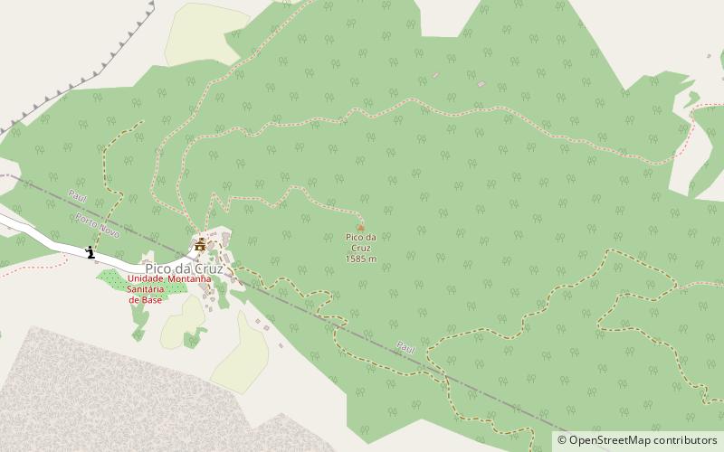
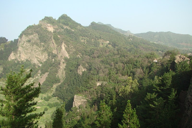
Pico da Cruz is a mountain in the eastern part of the island of Santo Antão. Its elevation is 1585 m. It is 5 km southwest of the town Pombas. It gives its name to the nearby village of Pico da Cruz, part of the municipality of Paul. Pico da Cruz is part of the protected area Cova-Paul-Ribeira da Torre Natural Park. ()
Address
Santo Antão
ContactAdd
Social media
Add
Day trips