Serra da Malagueta, Santiago
Map
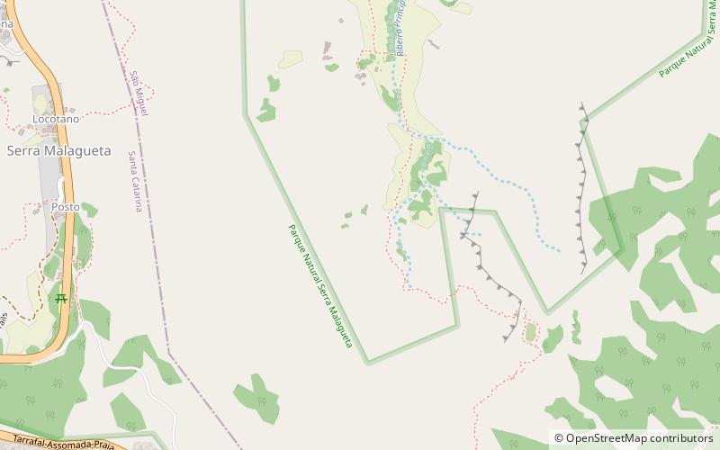
Map

Facts and practical information
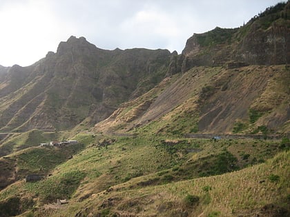
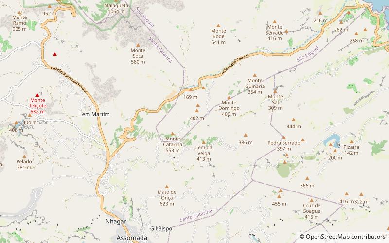
Serra Malagueta is a settlement in the northwestcentral part of the island of Santiago, Cape Verde. It is part of the municipality of Santa Catarina. It is situated on the main road between Assomada and Tarrafal, 1 km south of Curral Velho, 3 km north of Fundura and 11 km north of Assomada. In 2010 its population was 572. The main village, Locotano, sits at about 800 m elevation, northwest of the summit of Serra Malagueta, and lies partly in the Serra Malagueta Natural Park. ()
Elevation: 1539 ft a.s.l.Coordinates: 15°11'0"N, 23°40'58"W
Address
Santiago
ContactAdd
Social media
Add
Day trips
Serra da Malagueta – popular in the area (distance from the attraction)
Nearby attractions include: Serra da Malagueta, Igreja da Ribeira da Barca, Fundura, Saltos Acima.
