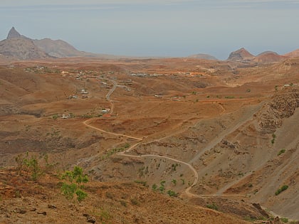
Fundura, Santiago
#28 among attractions in Santiago

Facts and practical information
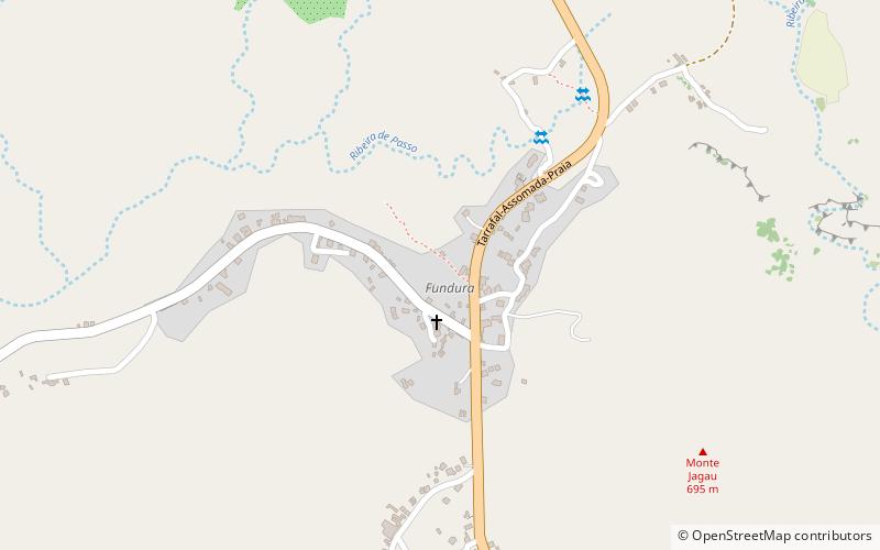
Fundura is a village in the northwestern part of the island of Santiago, Cape Verde. It is part of the municipality of Santa Catarina. In 2010 its population was 1,070. It is located about 8 km north of Assomada, on the road to Tarrafal. ()
Santiago Cape Verde
Fundura – popular in the area (distance from the attraction)
Nearby attractions include: Serra da Malagueta, Museu da Tabanka, Igreja da Ribeira da Barca, Serra da Malagueta.
 Nature, Natural attraction, Mountain
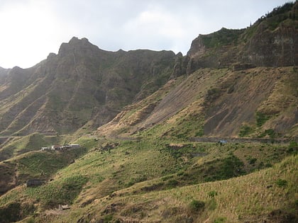
Serra da Malagueta, Santiago
53 min walk • Serra Malagueta is a mountain range located in the northern part of the island of Santiago, Cape Verde. At 1064 m elevation, it is highest point of northern Santiago.
 Museum
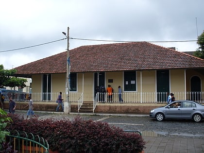
Museu da Tabanka, Santiago
128 min walk • The Museu da Tabanca is a museum in the town Chã de Tanque in the western part of the island of Santiago in Cape Verde. It is dedicated to local culture, including tabanka music.
 Town, Church
Igreja da Ribeira da Barca, Santiago
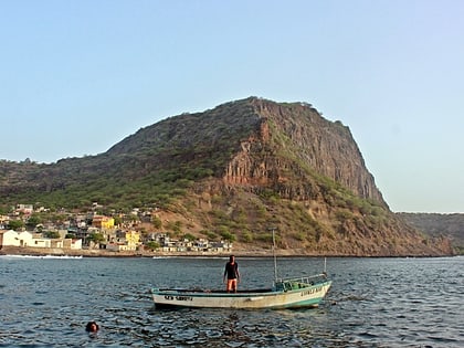
110 min walk • Ribeira da Barca is a town in the municipality of Santa Catarina, on the island of Santiago, Cape Verde. In 2010 its population was 2,317. It is situated on the west coast, at the mouth of the stream Ribeira da Barca, 11 km northwest of Assomada.
 Park
ParkSerra da Malagueta, Santiago
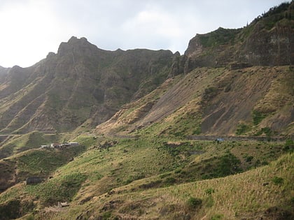
43 min walk • Serra Malagueta is a settlement in the northwestcentral part of the island of Santiago, Cape Verde. It is part of the municipality of Santa Catarina. It is situated on the main road between Assomada and Tarrafal, 1 km south of Curral Velho, 3 km north of Fundura and 11 km north of Assomada. In 2010 its population was 572.
 Village
Saltos Acima, Santiago
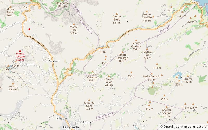
104 min walk • Saltos Acima is a village in the northcentral part of the island of Santiago, Cape Verde. It is part of the municipality of Santa Catarina. In 2010 its population was 657. It is situated 5 km northeast of Assomada. To the north it borders on the settlement Pedra Serrado, which is in the municipality of São Miguel.
 Town
TownChã de Tanque, Santiago
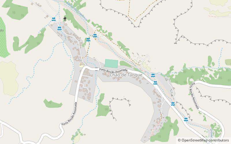
128 min walk • Chã de Tanque is a town in the west-central part of the island of Santiago, Cape Verde. It is part of the municipality of Santa Catarina. In 2010 its population was 1,164. It is situated 4 km west of Assomada, on the road to Rincão. The elevation is about 260 meters above sea level. Since 2008, it is home to the Museu da Tabanca.
 Locality
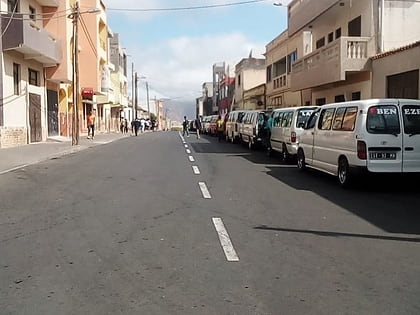
Assomada
132 min walk • Assomada is a city on the Sotavento island of Santiago in Cape Verde. Since 1912, it is the seat of the municipality of Santa Catarina, which comprises the central western part and much of the interior of the island. It is the largest city in that region.
 Sport, Arenas and stadiums, Sport venue
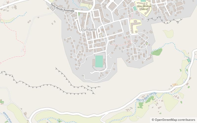
Estádio de Cumbém, Santiago
145 min walk • Estádio de Cumbém, also as Estádio Municipal de Cumbém is a multi-purpose stadium in the city of Assomada, seat of the municipality of Santa Catarina in the Santiago, Cape Verde and is located in the suburb of Cumbém located south of the centre, accessed with Avenida 15 de Dezembro.
 Town
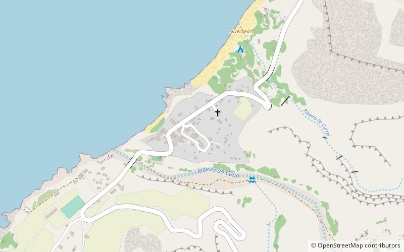
TownRibeira da Prata, Santiago
138 min walk • Ribeira da Prata is a town in the northern part of the island of Santiago, Cape Verde belonging to the municipality of Tarrafal. In 2010 its population was 1,009. It was mentioned as Rivera de Prata in the 1747 map by Jacques-Nicolas Bellin.
 Town
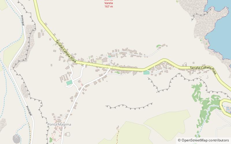
TownAchada Monte, Santiago
155 min walk • Achada Monte is a town in the northern part of the island of Santiago, Cape Verde and is part of the municipality of São Miguel. It is situated near the east coast, 8 km northwest of Calheta de São Miguel. In 2010 its population was 1,652. It is on the road connecting Praia and Tarrafal through Pedra Badejo, the EN1-ST02.
