Lajedo, Santo Antão

Map
Facts and practical information
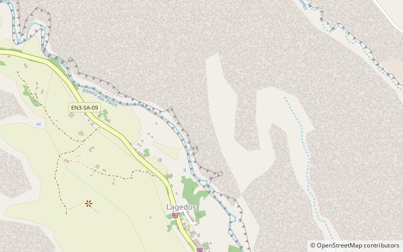
Lajedo is a settlement in the southcentral part of the island of Santo Antão, Cape Verde. In 2010 its population was 558. It is situated in the valley of Ribeira das Patas, about 11 km west of the island capital Porto Novo. The settlement consists of several localities, including Ponte Sul, Lajedo proper and Vascona. The road from Porto Novo to Ribeira da Cruz in the north of the island passes through Lajedo. ()
Coordinates: 17°1'24"N, 25°9'57"W
Address
Santo Antão
ContactAdd
Social media
Add
Day trips
Lajedo – popular in the area (distance from the attraction)
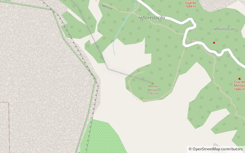
Nearby attractions include: Gudo de Cavaleiro, Moroços.

