Trek Zone

Capela São José, Sal
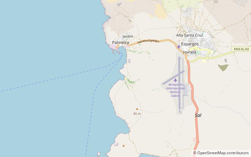
#13 among attractions in Sal

Sacred and religious sites, Church
Capela São José location map
Map

Facts and practical information

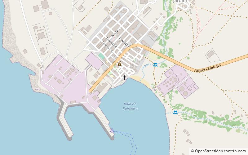
Capela São José is a place located in Sal (Sal county) and belongs to the category of sacred and religious sites, church.

It is situated at an altitude of 30 feet, and its geographical coordinates are 16°45'24"N latitude and 22°58'52"W longitude.

Among other places and attractions worth visiting in the area are: Praia da Fontona (body of water, 31 min walk), Monte Curral (natural attraction, 64 min walk), Estádio Marcelo Leitão (sport, 72 min walk).

Coordinates: 16°45'24"N, 22°58'52"W
Address

Sal Cape Verde

ContactAdd
Social media
Add
Day trips

Capela São José – popular in the area (distance from the attraction)

Nearby attractions include: Monte Curral, Rabo de Junco, Monte Grande, Praia da Fontona.

  • monte curral sal2.5 miE
  • rabo de junco sal4.1 miS
  • monte grande sal6.3 miNE
  • praia da fontona sal location map
    1.2 miS
  • morrinho de acucar2.8 miSE
  • estadio marcelo leitao sal2.8 miE
  • ilheu rabo de junco santa maria4 miS
  • feijoal sal location map
    5.4 miE

Where to next? Visit sal Sal region page or discover the top tourist attractions in Cape Verde.