Praia de São Francisco, Santiago
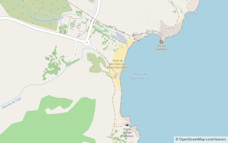
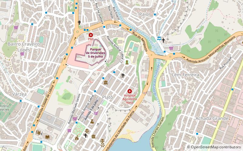
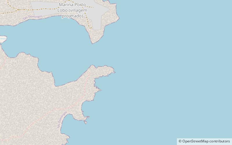
Map
Facts and practical information
Praia de São Francisco is a place located in Santiago (Praia county) and belongs to the category of beach.
It is situated at an altitude of 13 feet, and its geographical coordinates are 14°58'15"N latitude and 23°27'41"W longitude.
Among other places and attractions worth visiting in the area are: Praia de São Francisco- Beach Katumbela (beach, 2 min walk), Praia São Tomé (beach, 32 min walk), Ponta do Lobo Lighthouse (lighthouse, 61 min walk).
Coordinates: 14°58'15"N, 23°27'41"W
Address
Santiago
ContactAdd
Social media
Add
Day trips