Bolona, Santo Antão
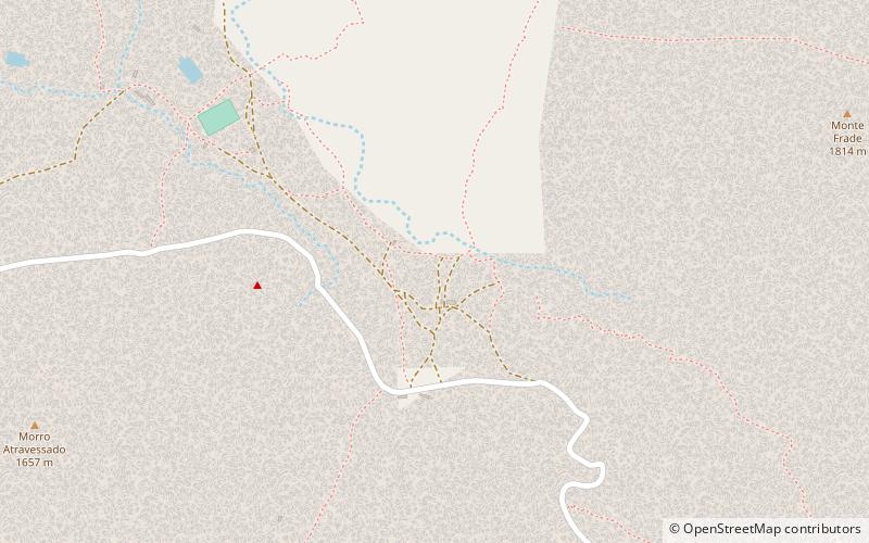
Map
Facts and practical information
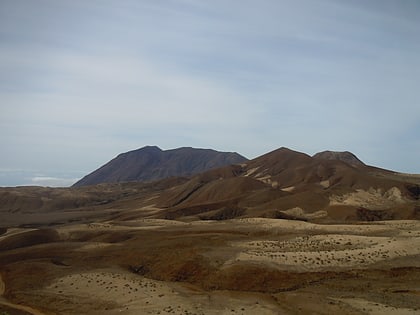
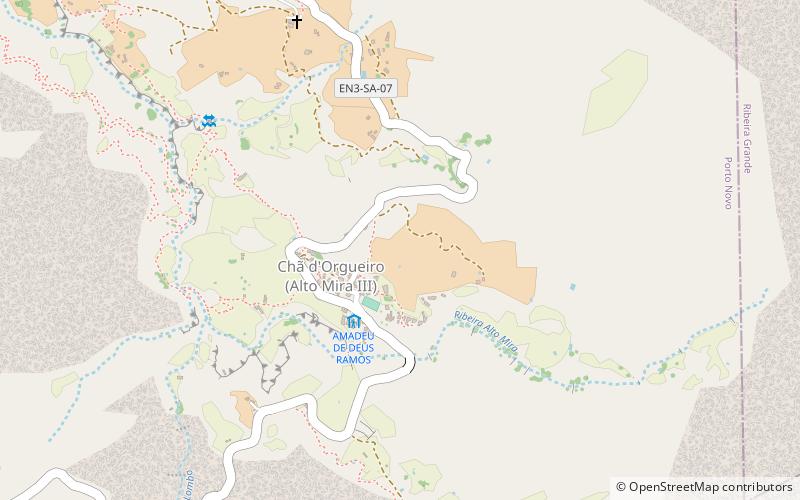
Bolona is a settlement in the westcentral part of the island of Santo Antão, Cape Verde. In 2010 its population was 112. It is situated about 19 km west of the island capital Porto Novo. At about 1,500 m elevation, it is one of the highest settlements of the island. ()
Coordinates: 17°0'53"N, 25°14'37"W
Address
Santo Antão
ContactAdd
Social media
Add
Day trips
Bolona – popular in the area (distance from the attraction)
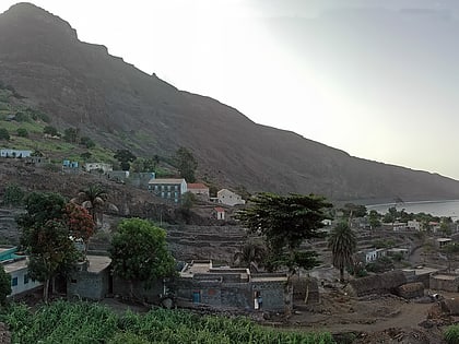
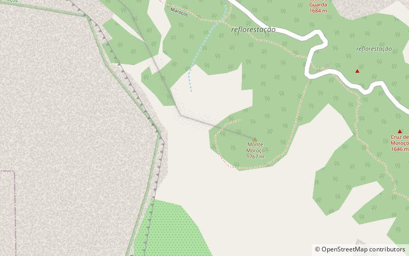
Nearby attractions include: Topo da Coroa, Gudo de Cavaleiro, Tarrafal de Monte Trigo, Moroços.
