Kuancheng District, Changchun
Map
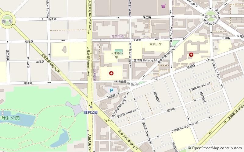
Map

Facts and practical information
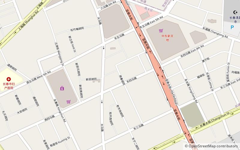
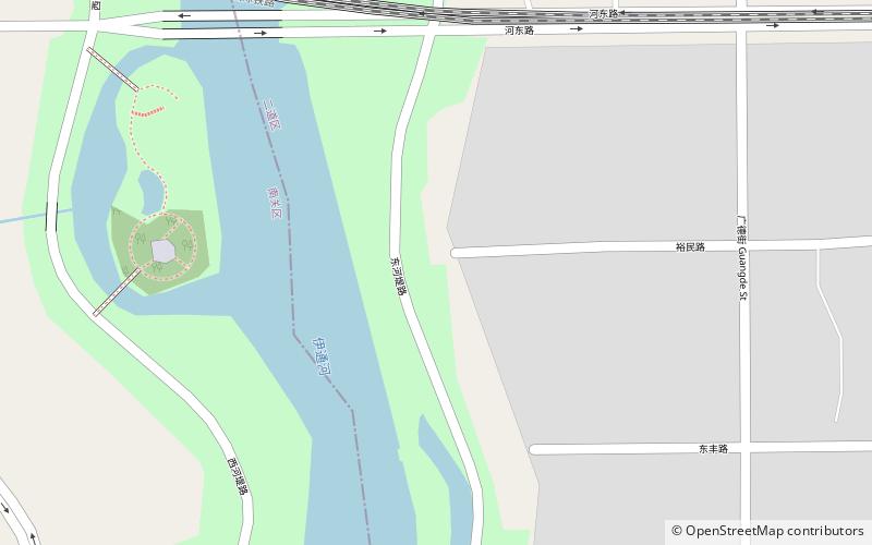
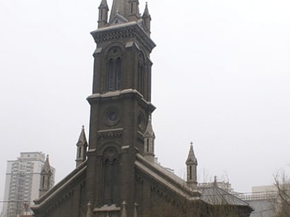
Kuancheng District is one of seven districts of the prefecture-level city of Changchun, the capital of Jilin Province, Northeast China. It is part of Changchun's main urban area, located north of downtown. It borders Dehui to the northeast, Jiutai to the east, Erdao District to the southeast, Nanguan and Chaoyang Districts to the south, Luyuan District to the southwest, and Nong'an County to the northwest. ()
Day trips
Kuancheng District – popular in the area (distance from the attraction)
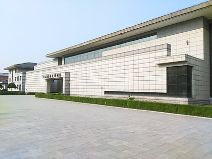
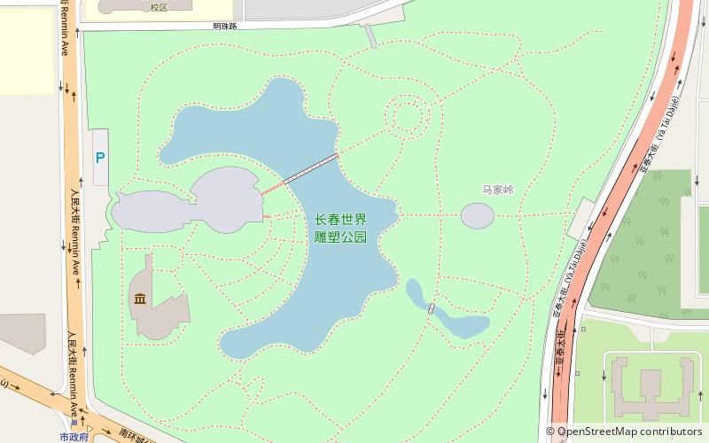
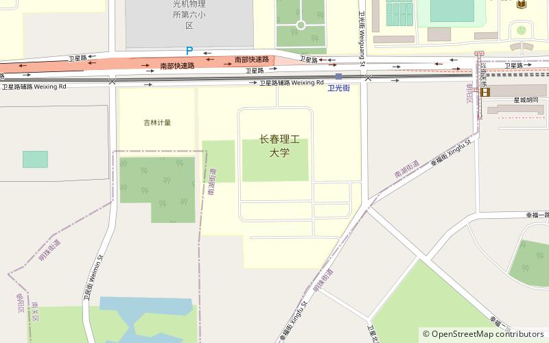
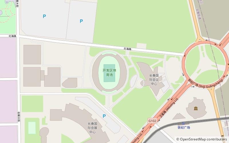
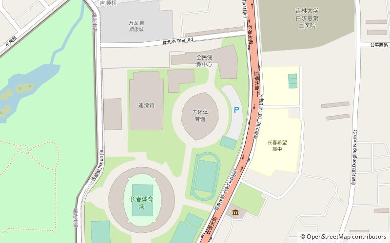
Nearby attractions include: Museum of the Imperial Palace of the Manchu State, Changchun World Sculpture Park, Changchun Stadium, Banruo Temple.
Frequently Asked Questions (FAQ)
How to get to Kuancheng District by public transport?
The nearest stations to Kuancheng District:
Metro
Light rail
Train
Metro
- Shengli Park • Lines: 1 (4 min walk)
- Changchun Railway Station • Lines: 1 (22 min walk)
Light rail
- Changchun Railway Station • Lines: 3, 4 (22 min walk)
- Liaoning Road • Lines: 3 (20 min walk)
Train
- Changchun (17 min walk)

