Tsing Kwai Highway, Hong Kong

Gallery (2)
Map
Map
Gallery
Facts and practical information
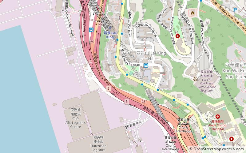
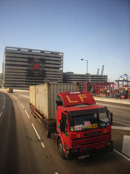
Tsing Kwai Highway is a section of Route 3 in Hong Kong, previously known as Route 3 - Kwai Chung Section. From its junction with West Kowloon Highway at Mei Foo Roundabout, the expressway runs in the form of a 3 km dual-4 lane viaduct atop Kwai Chung Road and Kwai Tai Road, circumscribing the container terminals to reach the Rambler Channel. Then, the highway crosses the channel along a 500 m bridge known as Cheung Tsing Bridge, and ends at its junction with the Cheung Tsing Tunnel. Tsing Kwai Highway was opened on 19 February 1997. ()
Address
葵青区 (下葵涌)Hong Kong
ContactAdd
Social media
Add
Getting there by public transportation
Public transportation stops near this location
- Metro
- Bus
 Metro
Metro
- Calculate routeLok King House Lai King Estate 2 min walk
- Calculate routeCho Yiu 3 min walk
- Calculate routeMorninghope School 5 min walk
- Calculate routeLai King Station 5 min walk
- Calculate routeLai King 6 min walk
- Calculate routeKwai Fong 21 min walk
- Calculate routeMei Foo 22 min walk
Maps MTRMaps
 LTRMaps
 Tram
Tram
MTRMapsLTRMapsTramDay trips


Frequently Asked Questions (FAQ)
Which popular attractions are close to Tsing Kwai Highway?
Nearby attractions include Kwai Tsing Container Terminals, Hong Kong (8 min walk), Ching Lai Court, Hong Kong (18 min walk), Lai Chi Kok Bridge, Hong Kong (19 min walk), Kwai Tsing Theatre, Hong Kong (21 min walk).
How to get to Tsing Kwai Highway by public transport?
The nearest stations to Tsing Kwai Highway:
Bus
Metro
Bus
- Lok King House Lai King Estate • Lines: 407, 407A (2 min walk)
- Cho Yiu (3 min walk)
Metro
- Lai King • Lines: Tcl, Twl (6 min walk)
- Kwai Fong • Lines: Twl (21 min walk)