West Kowloon Highway, Hong Kong
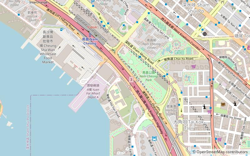
Map
Gallery
Facts and practical information
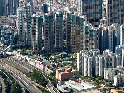
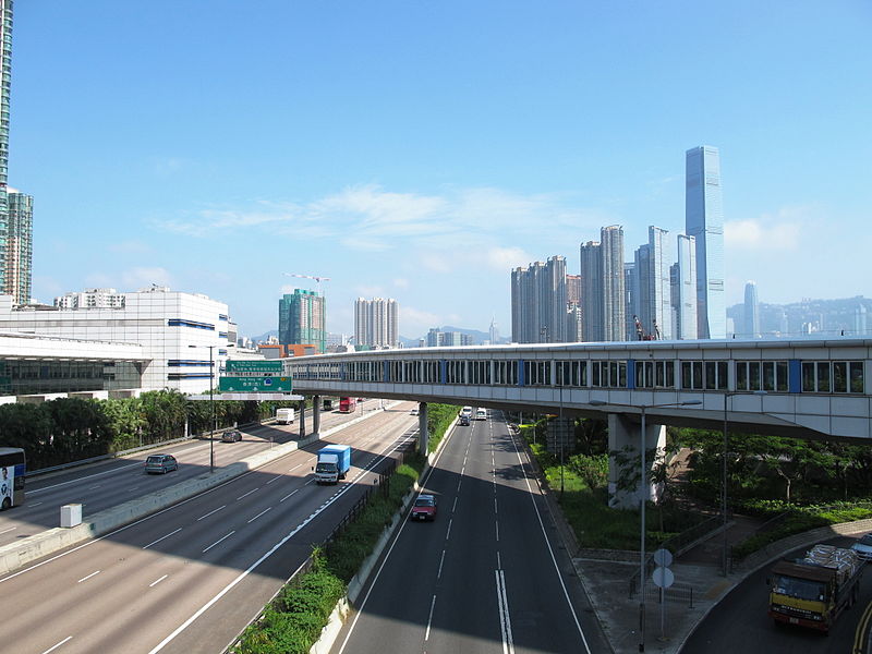
West Kowloon Highway is a section of Route 3 in Hong Kong, built as part of the Airport Core Programme. This dual-three-lane expressway runs for 4.2 km, connecting Western Harbour Crossing in the south with Tsing Kwai Highway in the north. While the southern section of the road is at grade, the northern part is on a viaduct in order to accommodate the MTR Tung Chung line and the Airport Express. ()
Address
油尖旺区 (大角咀)Hong Kong
ContactAdd
Social media
Add
Day trips
West Kowloon Highway – popular in the area (distance from the attraction)
Nearby attractions include: Langham Place, Olympian City, Dragon Centre, Yen Chow Street Hawker Bazaar.
Frequently Asked Questions (FAQ)
Which popular attractions are close to West Kowloon Highway?
Nearby attractions include Nam Cheong Park, Hong Kong (2 min walk), Tung Chau Street Park, Hong Kong (7 min walk), Hong Kong Nang Yan College of Higher Education, Hong Kong (11 min walk), Yen Chow Street Hawker Bazaar, Hong Kong (12 min walk).
How to get to West Kowloon Highway by public transport?
The nearest stations to West Kowloon Highway:
Bus
Metro
Bus
- Chui Yu Road • Lines: 701, 701S, 971 (5 min walk)
- Nam Cheong Estate • Lines: 286X, 701, 701S, 971 (5 min walk)
Metro
- Nam Cheong • Lines: Tcl, Tml (7 min walk)
- Olympic • Lines: Tcl (13 min walk)

 MTR
MTR LTR
LTR Tram
Tram