Zhonglou District, Changzhou
Map
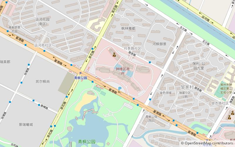
Map

Facts and practical information
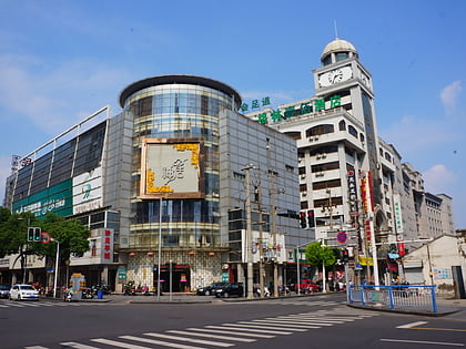
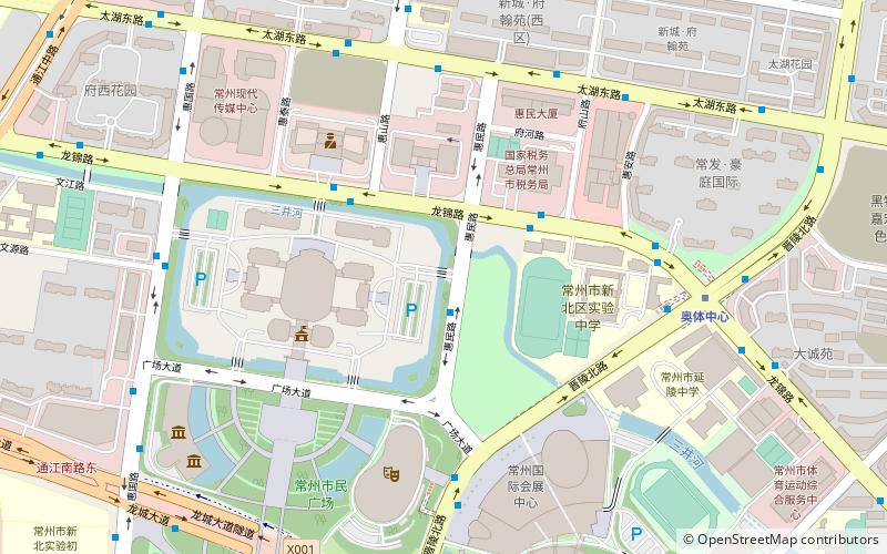
Zhonglou District is one of five districts under the jurisdiction of Changzhou in Jiangsu province of the People's Republic of China. The local language is the Changzhou dialect of Wu Chinese. The postal code for the district is 213002. Zhonglou covers an area of 71 square kilometers. In 2001 the total population was recorded at 320,000 people. ()
Address
Changzhou
ContactAdd
Social media
Add
Day trips
Zhonglou District – popular in the area (distance from the attraction)
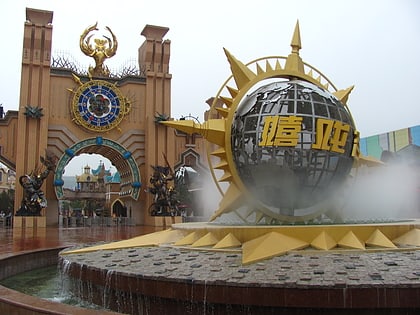
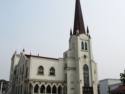
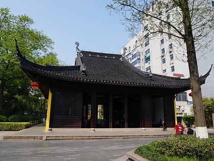
Nearby attractions include: Tianning Temple, World Joyland, Christ's Church, Chongfa Temple.
Frequently Asked Questions (FAQ)
How to get to Zhonglou District by public transport?
The nearest stations to Zhonglou District:
Metro
Bus
Metro
- Qingfeng Park • Lines: 2 (4 min walk)
- Haitang Road • Lines: 2 (13 min walk)
Bus
- 钟楼区政府/青枫公园 • Lines: 213, 52, B23 (4 min walk)
- 星港路茶花路 • Lines: 213, 52, 97, B23 (4 min walk)
