Tung Lung Chau, Hong Kong
Map
Gallery
Facts and practical information
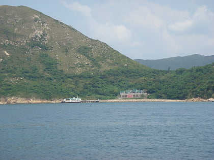
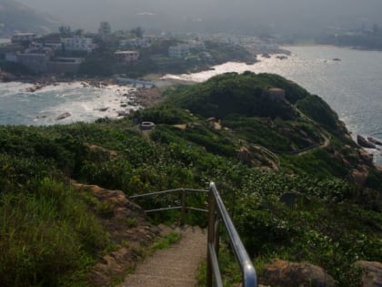
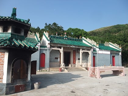
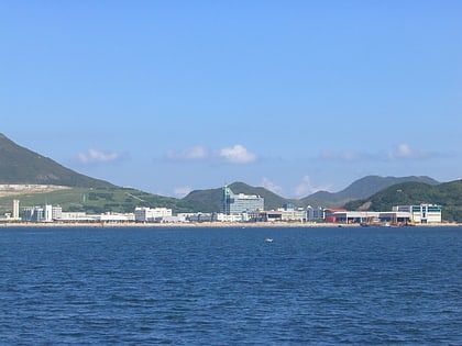
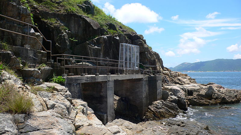
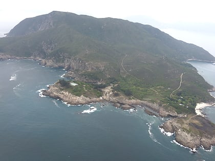
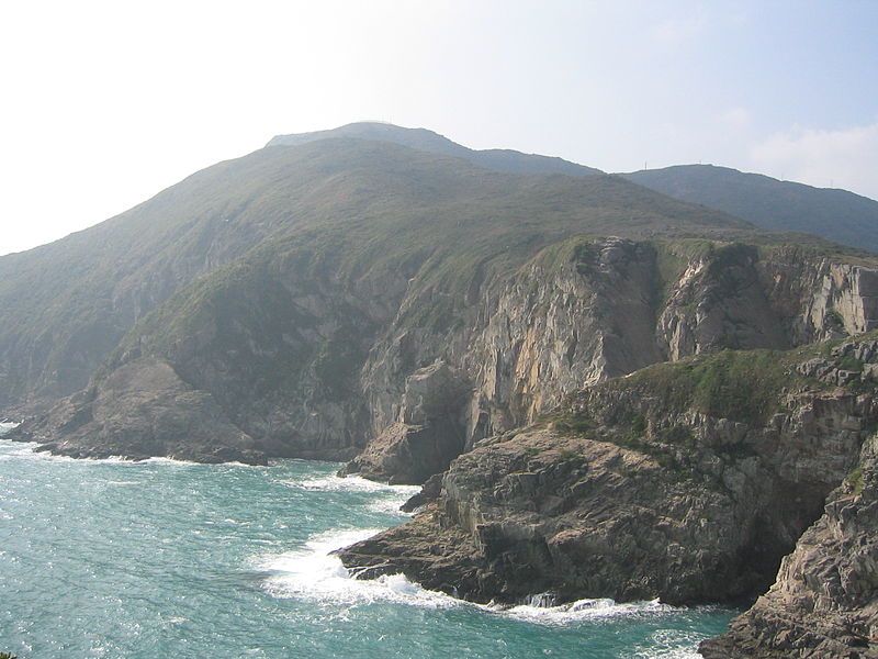
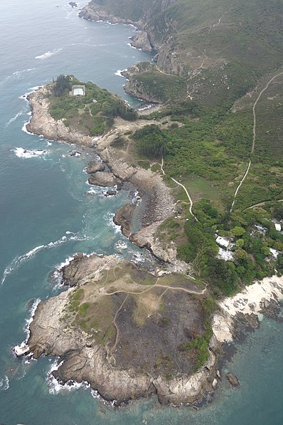
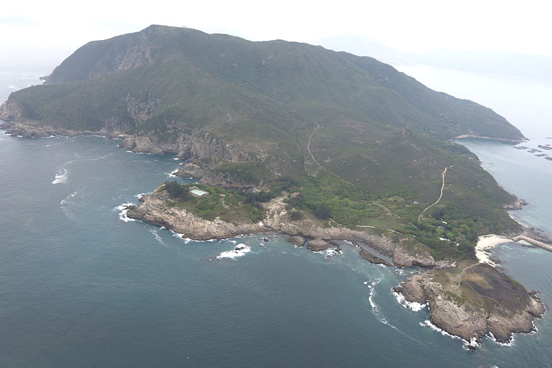
Tung Lung Chau, previously known as Nam Tong Island or Nam Fat Tong is an island located off the tip of the Clear Water Bay Peninsula in the New Territories of Hong Kong. It is also referred by Hong Kong people as Tung Lung To or Tung Lung Island. The island is largely uninhabited. Administratively, it belongs to Sai Kung District. ()
Address
西贡区 (东龙洲)Hong Kong
ContactAdd
Social media
Add
Day trips
Tung Lung Chau – popular in the area (distance from the attraction)
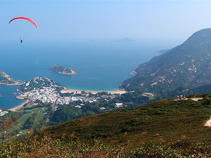
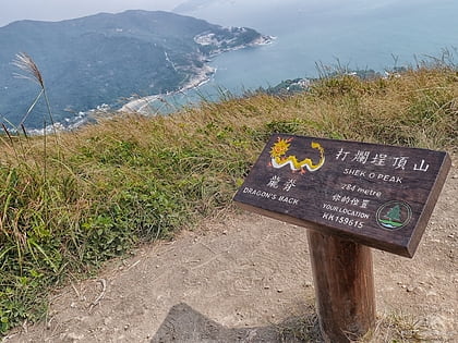
Nearby attractions include: Dragon's Back, Shek O Peak, Tin Ha Shan, Shek O Country Park.
Frequently Asked Questions (FAQ)
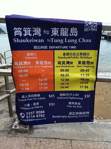
How to get to Tung Lung Chau by public transport?
The nearest stations to Tung Lung Chau:
Ferry
Ferry
- Tung Lung Chau Public Pier (12 min walk)


 MTR
MTR LTR
LTR Tram
Tram
