SoHo, Hong Kong
Map
Gallery
Facts and practical information
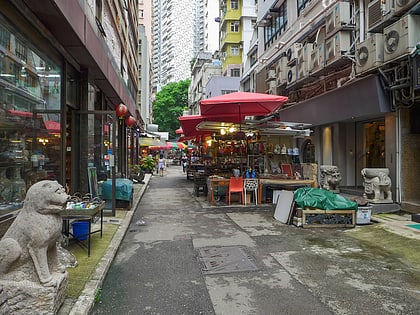
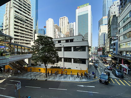
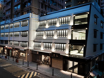
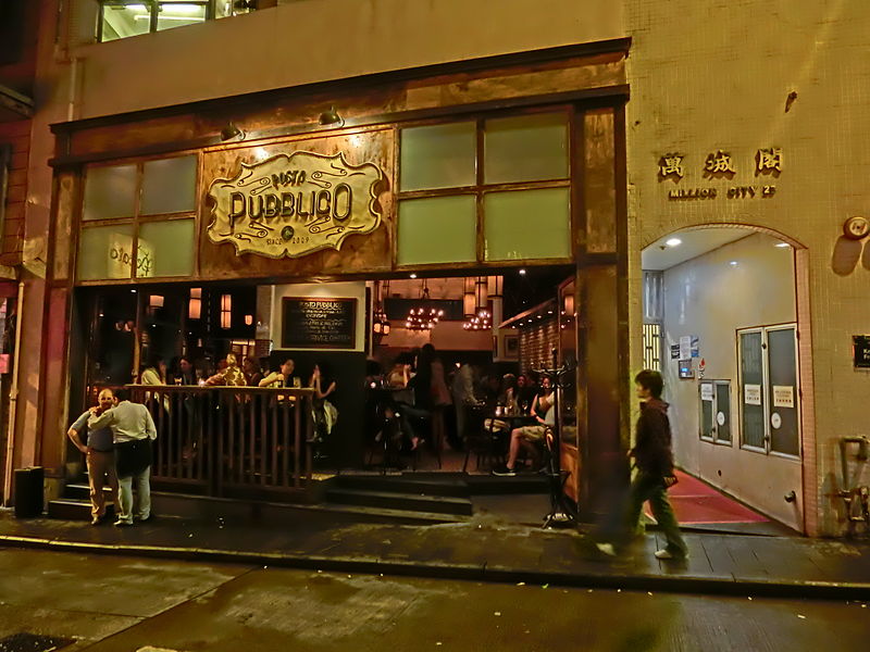
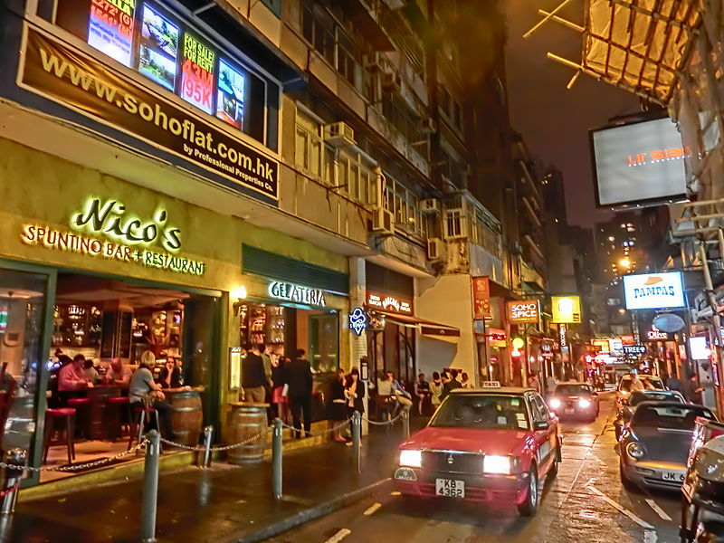
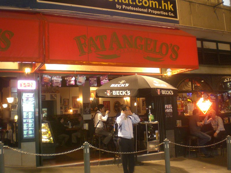
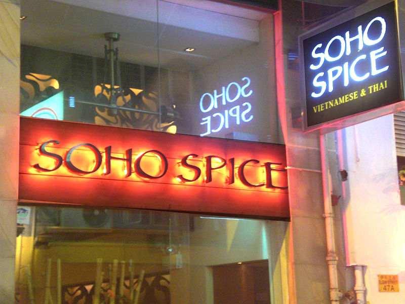
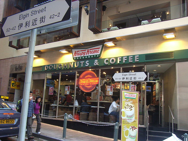
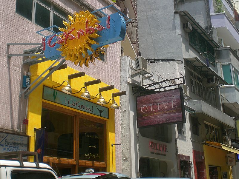
The SoHo district in Hong Kong is an entertainment zone located in Central. It borders Lan Kwai Fong and Sheung Wan districts. The name is derived from its location: South of Hollywood Road. ()
Day trips
SoHo – popular in the area (distance from the attraction)
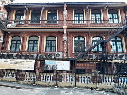
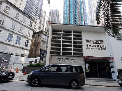
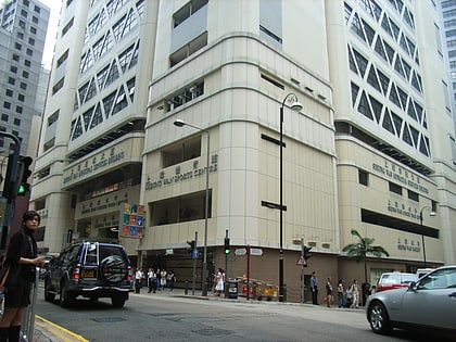
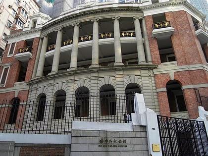
Nearby attractions include: Cat Street, Man Yee Building, Central Market, Hong Kong Museum of Medical Sciences.
Frequently Asked Questions (FAQ)
Which popular attractions are close to SoHo?
Nearby attractions include Pak Tsz Lane Park, Hong Kong (3 min walk), Tai Kwun, Hong Kong (3 min walk), Victoria Prison, Hong Kong (3 min walk), Former Central Magistracy, Hong Kong (4 min walk).
How to get to SoHo by public transport?
The nearest stations to SoHo:
Bus
Tram
Metro
Train
Ferry
Bus
- Hollywood Road • Lines: 22, 22S, 8 (2 min walk)
- Lyndhurst Terrace • Lines: 40M (3 min walk)
Tram
- Jubilee Street • Lines: 上環 (西港城) → 筲箕灣 Western Market →, 堅尼地城 → 筲箕灣 Kennedy Town → Shau K, 堅尼地城 → 跑馬地 Kennedy Town → Happy, 石塘咀 → 北角 Shek Tong Tsui → North, 石塘咀 → 銅鑼灣 Shek Tong Tsui → Cause (7 min walk)
- Gilman Street • Lines: 上環 (西港城) → 筲箕灣 Western Market →, 北角 → 石塘咀 North Point → Shek Tong, 堅尼地城 → 筲箕灣 Kennedy Town → Shau K, 堅尼地城 → 跑馬地 Kennedy Town → Happy, 石塘咀 → 北角 Shek Tong Tsui → North, 石塘咀 → 銅鑼灣 Shek Tong Tsui → Cause, 筲箕灣 → 上環 (西港城) Shau Kei Wan → We, 筲箕灣 → 堅尼地城 Shau Kei Wan → Kenned, 跑馬地 → 堅尼地城 Happy Valley → Kenned, 銅鑼灣 → 石塘咀 Causeway Bay → Shek To (7 min walk)
Metro
- Sheung Wan • Lines: Isl (8 min walk)
- Central • Lines: Isl, Twl (10 min walk)
Train
- Kennedy Road (13 min walk)
- Garden Road (13 min walk)
Ferry
- Central Pier 5 • Lines: Cheung Chau - Central (15 min walk)
- Star Ferry Pier (32 min walk)



 MTR
MTR LTR
LTR Tram
Tram