Kau Keng Shan, Hong Kong
Map
Map

Facts and practical information
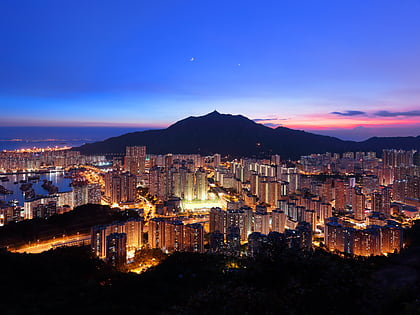
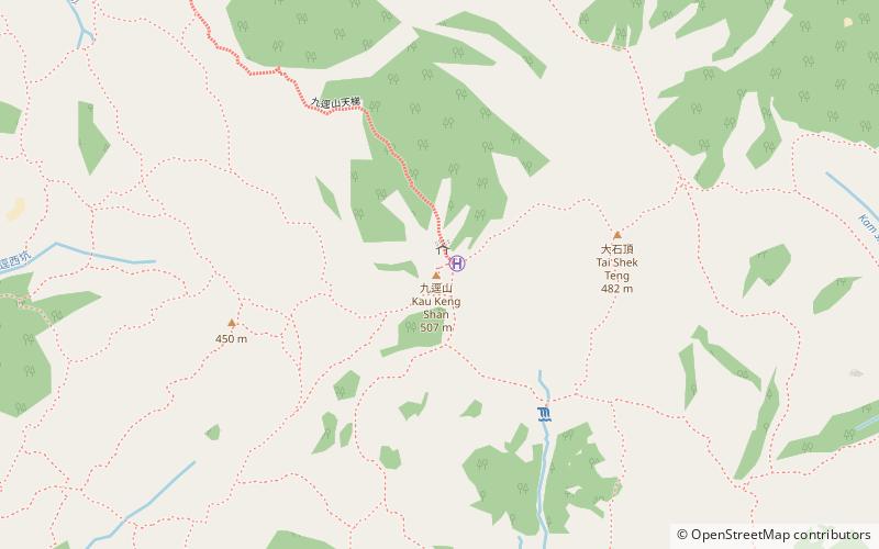
Kau Keng Shan is a hill in Tuen Mun, New Territories, Hong Kong and stands opposite from Castle Peak. Kau Keng Shan has a height of 507 metres. During the Ming dynasty, the area around the hill was used as a defense position against foreign forces, in particular the Portuguese, who had occupied Tuen Mun from 1514 to 1521. ()
Address
屯门区 (tun men qu)Hong Kong
ContactAdd
Social media
Add
Day trips
Kau Keng Shan – popular in the area (distance from the attraction)
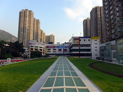
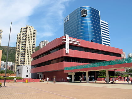
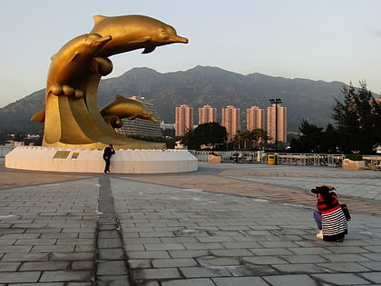
Nearby attractions include: Tuen Mun Town Plaza, Tuen Mun, Tuen Mun Public Library, Hong Kong Gold Coast.
Frequently Asked Questions (FAQ)
How to get to Kau Keng Shan by public transport?
The nearest stations to Kau Keng Shan:
Bus
Light rail
Bus
- Handsome Court • Lines: 252B, 252X, 43, 43A, 43B, 43C, 43S, 52X, 53, 61M, 962C, 962X, A33, B3, K51, K52, K53, K53/K58, K58, K58/K53 (24 min walk)
- Harvest Garden • Lines: 252B, 252X, 41, 43, 43A, 43B, 43C, 43S, 52X, 53, 61M, 962B, 962C, 962S, 962X, A33, B3, K51, K52, K53, K53/K58, K58, K58/K53 (24 min walk)
Light rail
- Pui To • Lines: 614, 614P (32 min walk)
- Hoh Fuk Tong • Lines: 614, 614P (33 min walk)

 MTR
MTR LTR
LTR Tram
Tram