Tuen Mun, Hong Kong
Map
Gallery
Facts and practical information
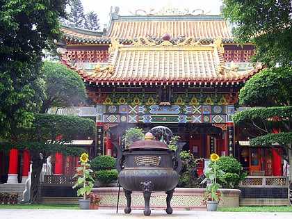
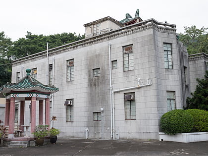
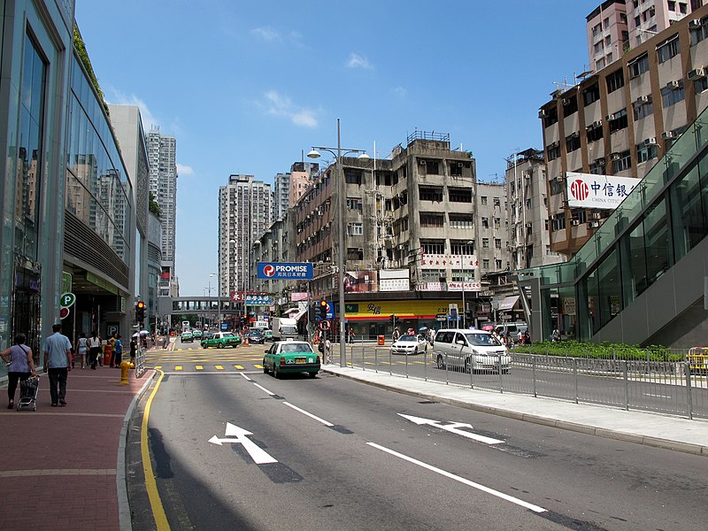
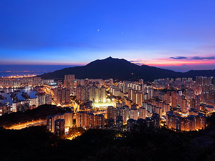
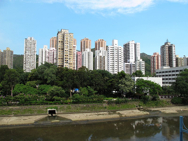
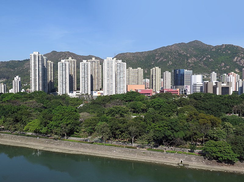
Tuen Mun or Castle Peak is an area near the mouth of Tuen Mun River and Castle Peak Bay in the New Territories, Hong Kong. It was one of the earliest settlements in what is now Hong Kong and can be dated to the Neolithic period. In the more recent past, it was home to many Tanka fishermen who gathered at Castle Peak Bay. Tuen Mun is now a modern, mainly residential area in the north-west New Territories. As of 2011, 487,546 live in Tuen Mun and over 95% of them are Chinese. ()
Address
Hong Kong
ContactAdd
Social media
Add
Day trips
Tuen Mun – popular in the area (distance from the attraction)
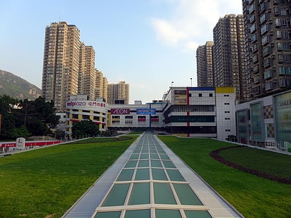
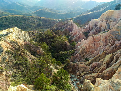
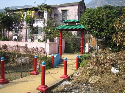
Nearby attractions include: Tuen Mun Town Plaza, Por Lo Shan, Red House, V city.
Frequently Asked Questions (FAQ)
Which popular attractions are close to Tuen Mun?
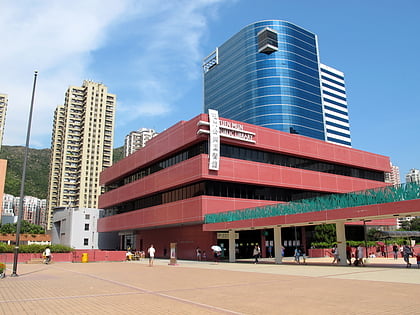
Nearby attractions include Tuen Mun Public Library (1 min walk), Tuen Mun New Town (1 min walk), Tuen Mun Town Plaza, Hong Kong (2 min walk), Tuen Mun Park, Hong Kong (5 min walk).
How to get to Tuen Mun by public transport?
The nearest stations to Tuen Mun:
Bus
Light rail
Metro
Bus
- Tuen Mun Central (2 min walk)
- Tuen Mun Central Bus Terminus • Lines: 259D, 260B, 261X, 263, 263A, 263C, 52X, 60M, 60X, 61X, 62X, 868, 961, 961P, E33, N260 (2 min walk)
Light rail
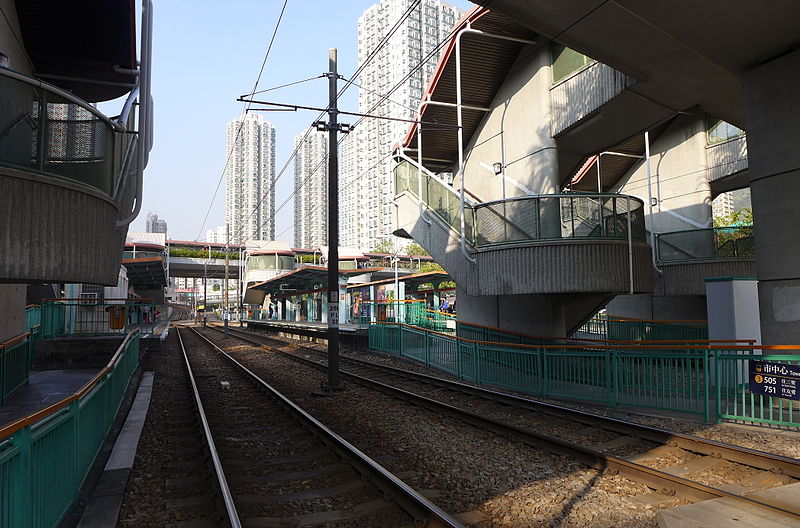
- Town Centre • Lines: 505, 507, 614, 614P, 751 (3 min walk)
- On Ting • Lines: 505, 507, 614, 614P, 751 (7 min walk)
Metro
- Tuen Mun • Lines: Tml (10 min walk)



 MTR
MTR LTR
LTR Tram
Tram