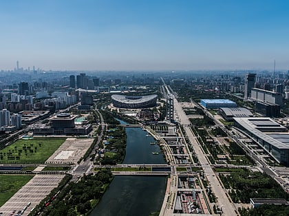
Chaolai Football Centre, Beijing
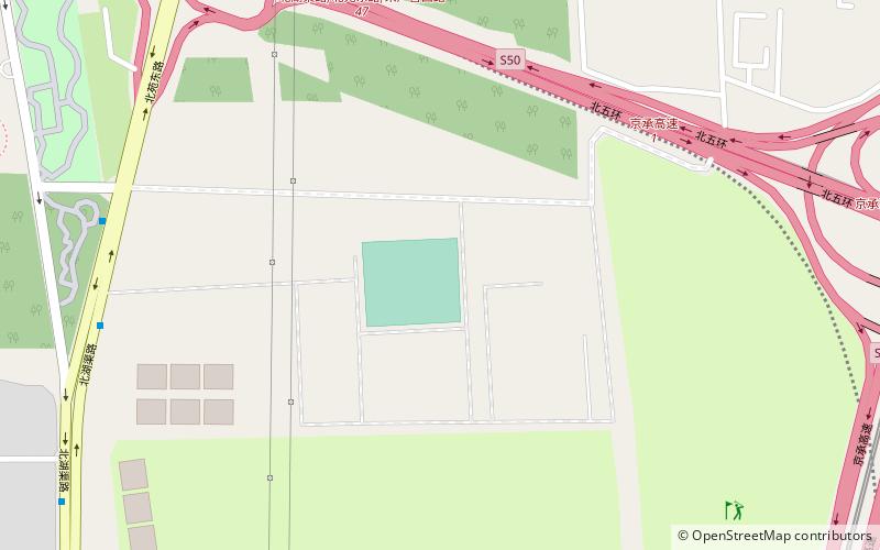
Map
Facts and practical information
Coordinates: 40°0'51"N, 116°26'24"E
Address
朝阳区 (chao yang qu)Beijing
ContactAdd
Social media
Add
Day trips
Chaolai Football Centre – popular in the area (distance from the attraction)
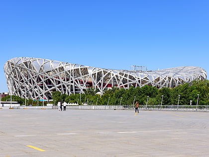
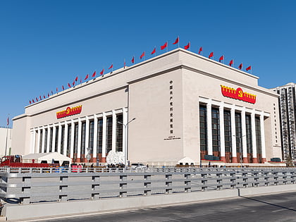
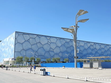
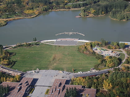
Nearby attractions include: Beijing National Stadium, Museum of the Communist Party of China, Water Cube, Olympic Forest Park.
Frequently Asked Questions (FAQ)
How to get to Chaolai Football Centre by public transport?
The nearest stations to Chaolai Football Centre:
Bus
Metro
Bus
- 北湖渠 • Lines: 630 (14 min walk)
- 黄草湾 • Lines: 630 (20 min walk)
Metro
- Laiguangying • Lines: 14 (30 min walk)
- Donghuqu • Lines: 14 (30 min walk)
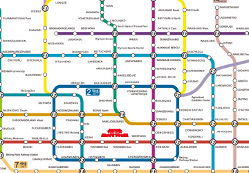 Subway