Po Kong Village Road Park, Hong Kong
Gallery (3)
Map
Map
Gallery
Facts and practical information
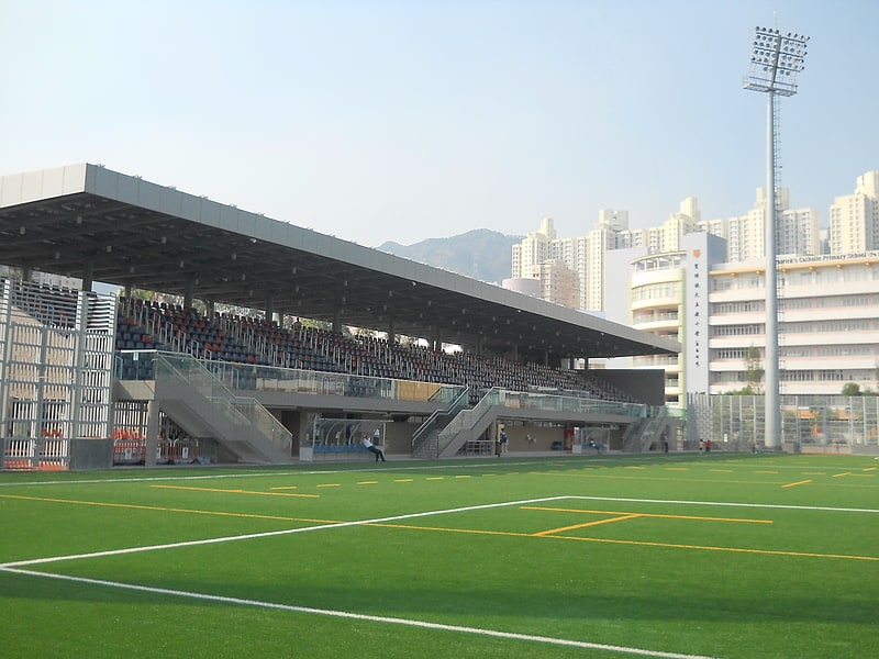
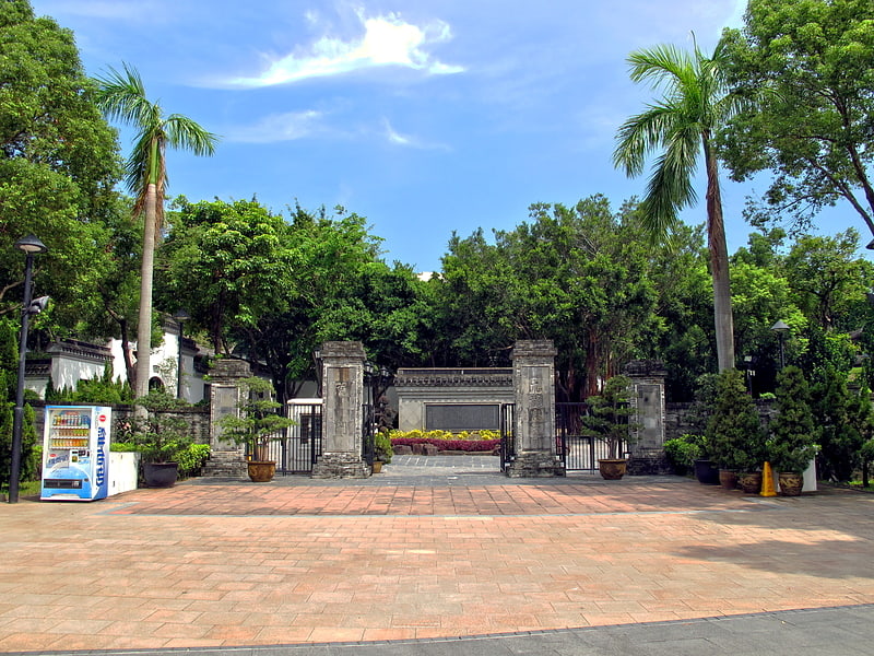
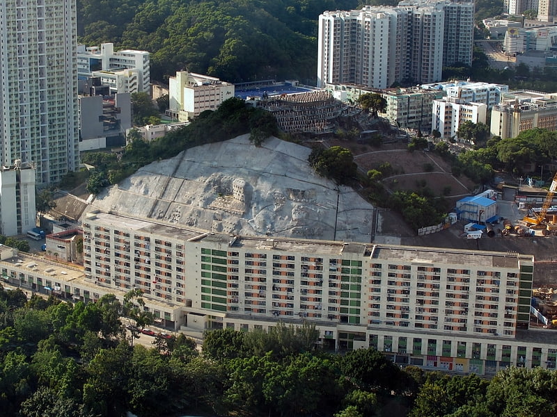
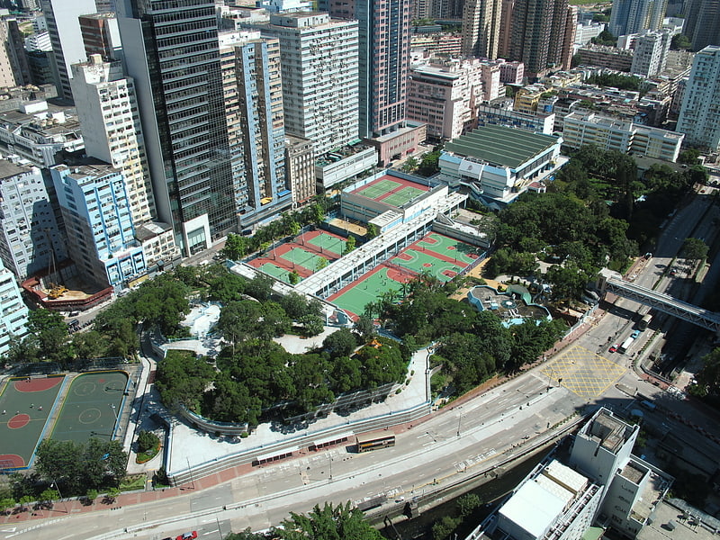
Po Kong Village Road Park is a sports ground located in Diamond Hill, Hong Kong. The footprint of the park covers 9 hectares and contains various amenities including football pitches, a 1 km cycling track, an amphitheatre and a car park. ()
Getting there by public transportation
Public transportation stops near this location
- Metro
- Bus
 Metro
Metro
- Calculate routeTsz Wan Shan 5 min walk
- Calculate routeLung Poon Court 6 min walk
- Calculate routeFu Shan 7 min walk
- Calculate routeFung Tak Shopping Centre 7 min walk
- Calculate routeDiamond Hill 9 min walk
- Calculate routeWong Tai Sin 17 min walk
- Calculate routeChoi Hung 18 min walk
- Calculate routeKai Tak 26 min walk
Maps MTRMaps
 LTRMaps
 Tram
Tram
MTRMapsLTRMapsTramDay trips


Frequently Asked Questions (FAQ)
Which popular attractions are close to Po Kong Village Road Park?
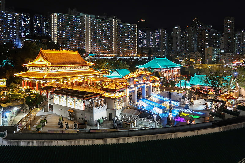
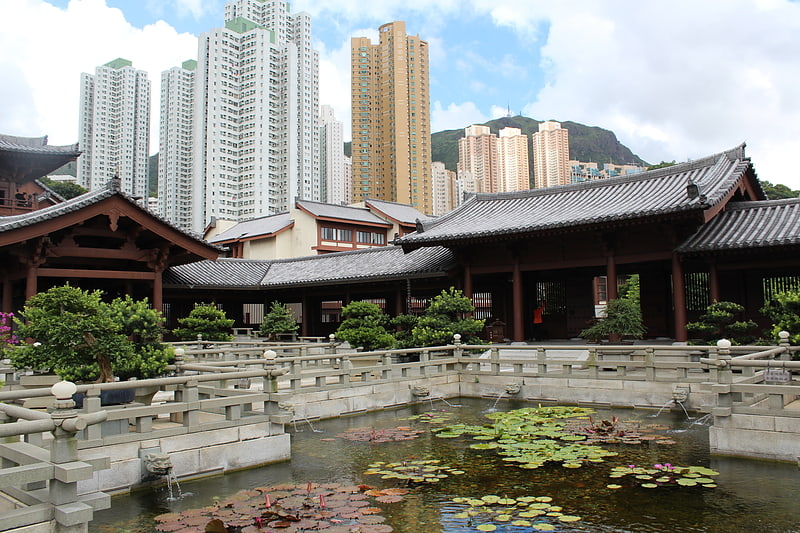
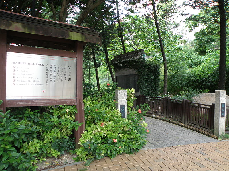
Nearby attractions include Diamond Hill, Hong Kong (4 min walk), Chi Lin Nunnery, Hong Kong (7 min walk), Hammer Hill Park, Hong Kong (9 min walk), Nan Lian Garden, Hong Kong (10 min walk).
How to get to Po Kong Village Road Park by public transport?
The nearest stations to Po Kong Village Road Park:
Bus
Metro
Bus
- Tsz Wan Shan (5 min walk)
- Lung Poon Court • Lines: 61X, 91M (6 min walk)
Metro
- Diamond Hill • Lines: Ktl, Tml (9 min walk)
- Wong Tai Sin • Lines: Ktl (17 min walk)