Eagle's Nest, Hong Kong
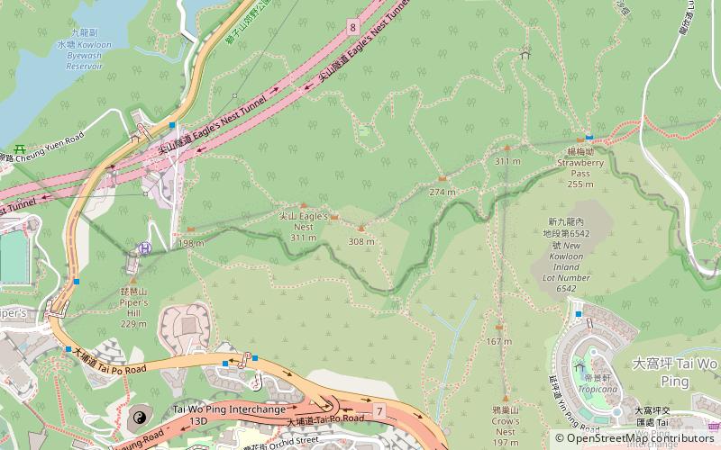
Map
Facts and practical information
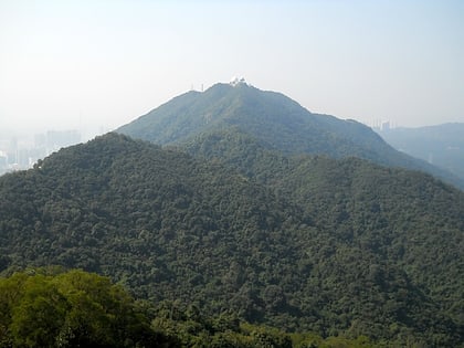
Eagle's Nest, also known indigenously as Tsim Shan, is a hill north of Cheung Sha Wan of Hong Kong. The hill peaks at 305 metres and is within Sha Tin District with border to Sham Shui Po District at her south. The hill is located northeast of Piper's Hill and northwest of Crow's Nest. Eagle's Nest Nature Trail goes around her peak while the Stage 5 of MacLehose Trail runs on her north. ()
Address
沙田区 (sha tian qu)Hong Kong
ContactAdd
Social media
Add
Day trips
Eagle's Nest – popular in the area (distance from the attraction)
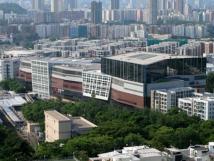
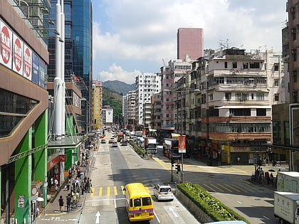
Nearby attractions include: Festival Walk, Dragon Centre, Yen Chow Street Hawker Bazaar, Jockey Club Creative Arts Centre.
Frequently Asked Questions (FAQ)
Which popular attractions are close to Eagle's Nest?
Nearby attractions include Eagle's Nest Tunnel and Sha Tin Heights Tunnel, Hong Kong (8 min walk), Crow's Nest, Hong Kong (9 min walk), Piper's Hill, Hong Kong (9 min walk), Kam Shan Country Park, Hong Kong (11 min walk).
How to get to Eagle's Nest by public transport?
The nearest stations to Eagle's Nest:
Bus
Metro
Bus
- Shek Lei Pui Reservoir • Lines: 72, 81 (9 min walk)
- So Uk (11 min walk)
Metro
- Cheung Sha Wan • Lines: Twl (21 min walk)
- Lai Chi Kok • Lines: Twl (24 min walk)
 MTR
MTR LTR
LTR Tram
Tram