Kau Sai Chau, Hong Kong

Gallery (2)
Map
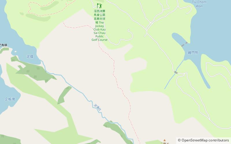
Map
Gallery
Facts and practical information
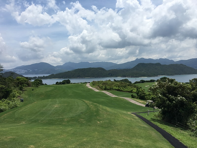
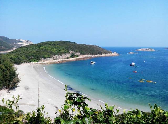
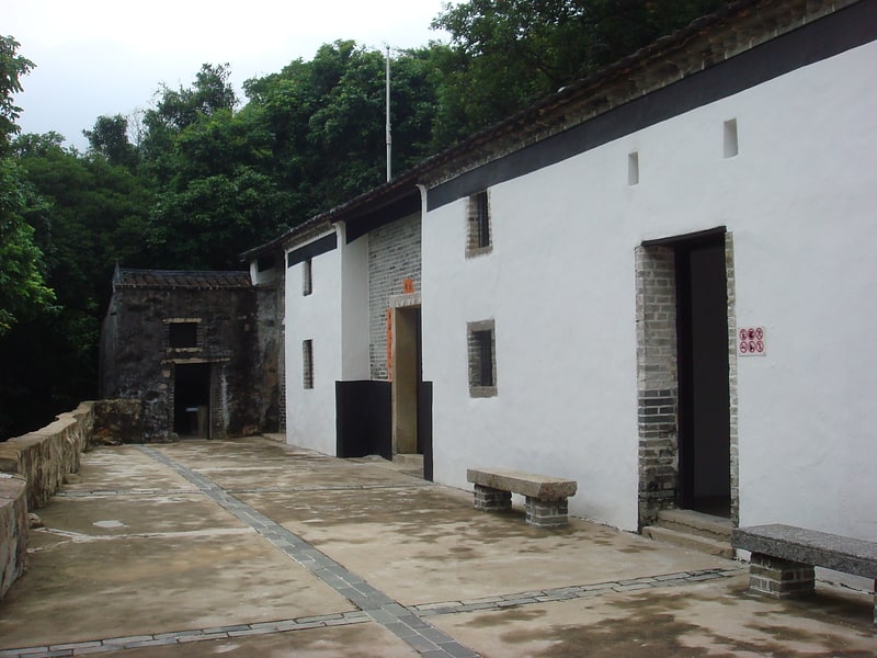
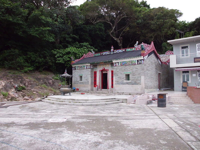
Kau Sai Chau is an island located off the coast of Sai Kung Peninsula, Hong Kong, with an area of 6.70 km², making it the 6th largest island of Hong Kong. It is under the administration of Sai Kung District, but not under the sub-area Sai Kung Town. ()
Address
西贡区 (xi gong qu)Hong Kong
ContactAdd
Social media
Add
Kau Sai Chau Public Transportation
Maps MTRMaps
 LTRMaps
 Tram
Tram
MTRMapsLTRMapsTramDay trips