Pak Lap Cafe, Hong Kong

Facts and practical information
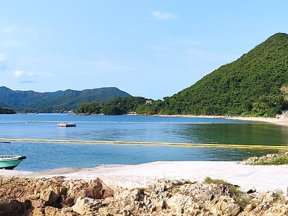
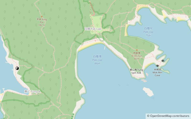
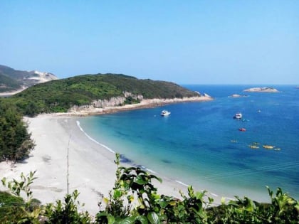
Pak Lap Cafe (address: Pak Lap Wan) is a place located in Hong Kong (Sai Kung district) and belongs to the category of beach.
It is situated at an altitude of 0 feet, and its geographical coordinates are 22°21'3"N latitude and 114°21'40"E longitude.
Planning a visit to this place, one can easily and conveniently get there by public transportation. Pak Lap Cafe is a short distance from the following public transport stations: East Dam of High Island Reservoir (bus, 27 min walk).
Among other places and attractions worth visiting in the area are: Nam Fung Chau (area, 22 min walk), Bun Bei Chau (island, 28 min walk), Town Island (island, 30 min walk).
Pak Lap Cafe – popular in the area (distance from the attraction)
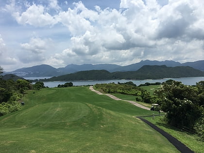
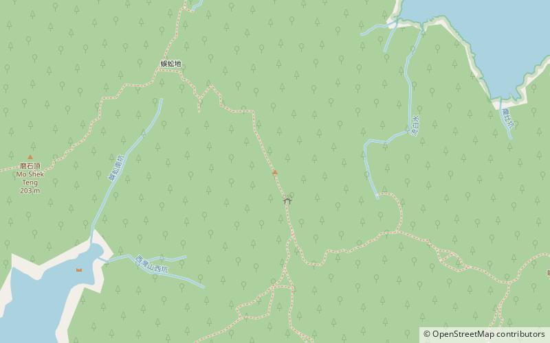
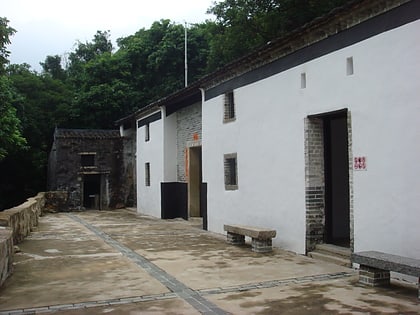
Nearby attractions include: Jockey Club Kau Sai Chau Public Golf Course, Sai Wan Shan, Sheung Yiu Folk Museum, Kiu Tsui Country Park.
Frequently Asked Questions (FAQ)
How to get to Pak Lap Cafe by public transport?
Bus
- East Dam of High Island Reservoir • Lines: 9A (27 min walk)
 MTR
MTR LTR
LTR Tram
Tram