Luohu District, Shenzhen
Map
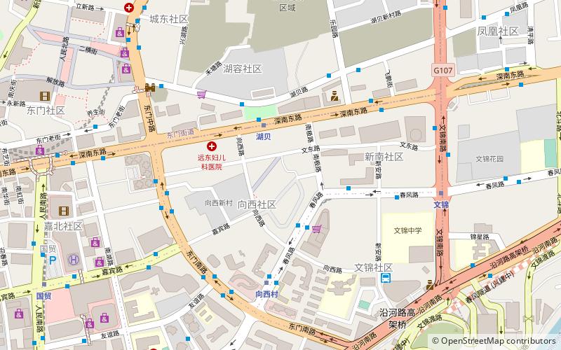
Map

Facts and practical information
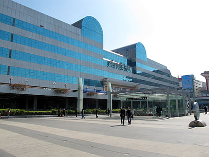
Luohu District is a district of Shenzhen located north of the New Territories of Hong Kong, east of Futian District, southeast of Longgang District, southwest of Pingshan District, and west of Yantian District. It is one of the oldest parts of the city, having represented Shenzhen as a fishing village before 1953 and a market town from 1953 to 1979, when Bao'an County was promoted to a prefecture-level city and renamed Shenzhen. ()
Address
Shenzhen
ContactAdd
Social media
Add
Day trips
Luohu District – popular in the area (distance from the attraction)
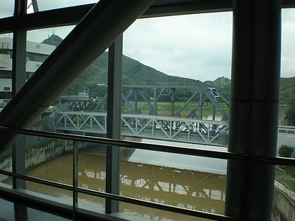
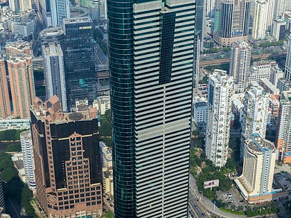
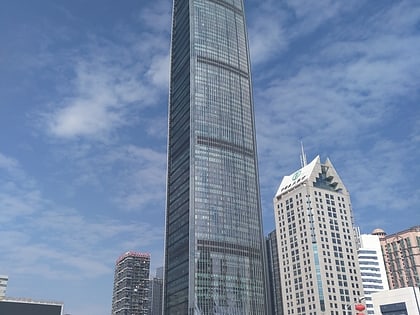
Nearby attractions include: Luohu Commercial City, Lo Wu Bridge, Shun Hing Square, People's Park.
Frequently Asked Questions (FAQ)
Which popular attractions are close to Luohu District?
Nearby attractions include Panglin Plaza, Shenzhen (8 min walk), Dongmen, Shenzhen (10 min walk), People's Park, Shenzhen (14 min walk), Shenzhen Stock Exchange, Shenzhen (22 min walk).
How to get to Luohu District by public transport?
The nearest stations to Luohu District:
Bus
Metro
Train
Bus
- Hubei Metro Station • Lines: 10, 17, 220, 29 (3 min walk)
- Hubei Middle Road • Lines: 17 (5 min walk)
Metro
- Hubei • Lines: 2 (3 min walk)
- Xiangxicun • Lines: 9 (6 min walk)
Train
- Shenzhen (25 min walk)
- Ludancun (31 min walk)

