Hubei University of Technology, Wuhan
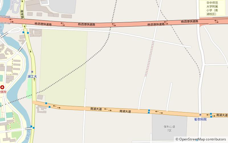
Map
Facts and practical information
Getting there by public transportation
Public transportation stops near this location
- Metro
- Bus
- Train
 Metro
Metro
- Calculate route南湖大道省农科院站 7 min walk
- Calculate route李纸路华工分校站 12 min walk
- Calculate route李纸路徐家墩站 12 min walk
- Calculate routeHubei University of Technology 10 min walk
- Calculate routeHubei Academy of Agricultural Sciences 12 min walk
- Calculate routeBanqiao 19 min walk
- Calculate routeWuchangnan 29 min walk
Day trips


Frequently Asked Questions (FAQ)
How to get to Hubei University of Technology by public transport?
The nearest stations to Hubei University of Technology:
Bus
Metro
Train
Bus
- 南湖大道省农科院站 • Lines: 570, 72 (7 min walk)
- 李纸路华工分校站 • Lines: 570, 72, 74 (12 min walk)
Metro
- Hubei University of Technology • Lines: 7 (10 min walk)
- Hubei Academy of Agricultural Sciences • Lines: 8 (12 min walk)
Train
- Wuchangnan (29 min walk)