Changning District, Shanghai
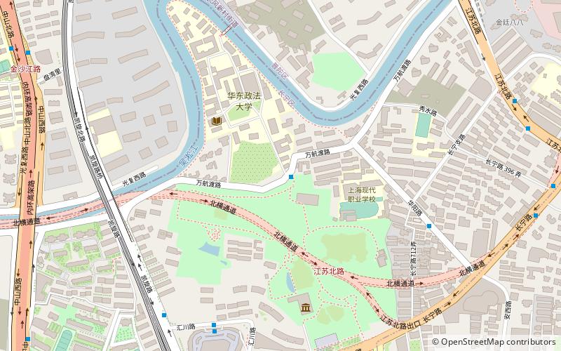
Map
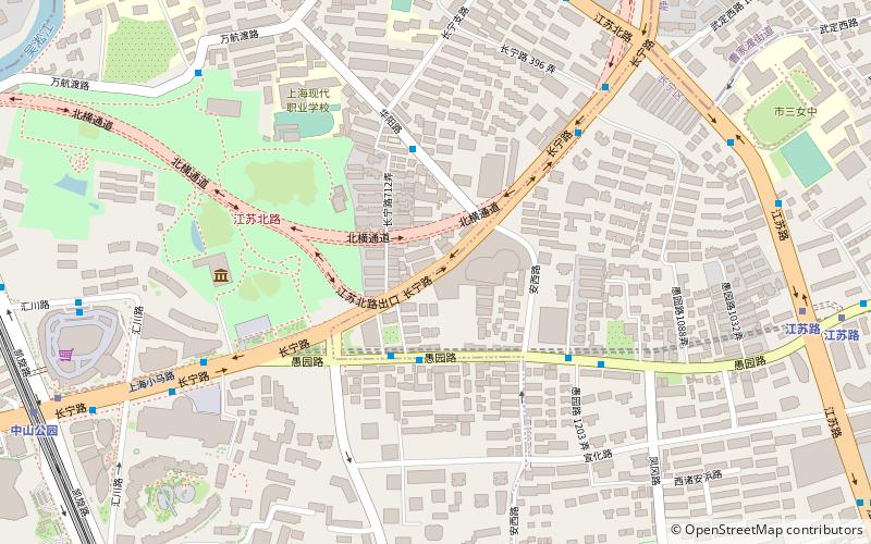
Map

Facts and practical information
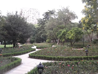
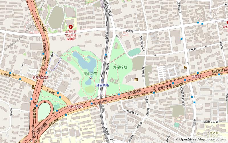
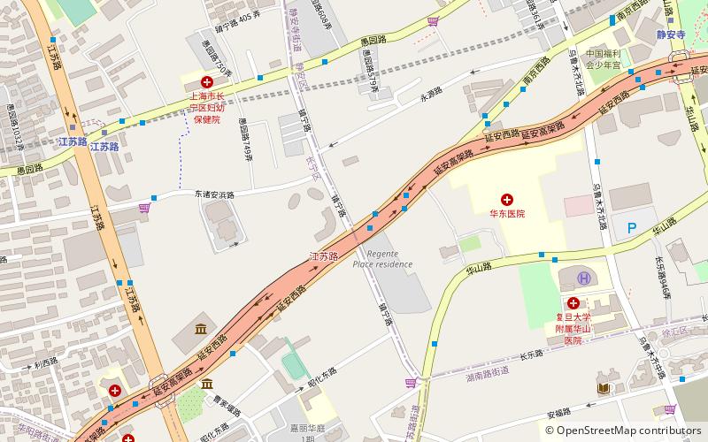
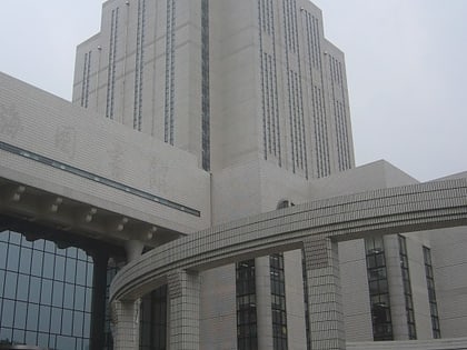
Changning District is a district of Shanghai. It has a land area of 37.19 square kilometres and had a population of 620,000 as of 2003. The district government is located at 1320 Yuyuan Rd. Zhongshan Park is located in the district. ()
Address
长宁 (zhang ning)Shanghai
ContactAdd
Social media
Add
Day trips
Changning District – popular in the area (distance from the attraction)
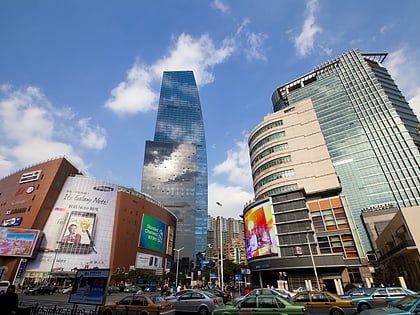
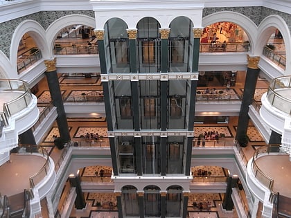
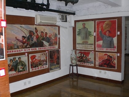
Nearby attractions include: Cloud Nine, Global Harbor, Propaganda Poster Art Centre, Zhongshan Park.
Frequently Asked Questions (FAQ)
Which popular attractions are close to Changning District?
Nearby attractions include Zhongshan Park, Shanghai (1 min walk), East China University of Political Science and Law, Shanghai (10 min walk), Kaiqiao Green Area, Shanghai (20 min walk), Yuanming Jiangtang, Shanghai (22 min walk).
How to get to Changning District by public transport?
The nearest stations to Changning District:
Bus
Metro
Trolleybus
Bus
- 长宁路江苏路 • Lines: 737 (7 min walk)
- 中山公园 • Lines: 737, 946路 中山公园地铁站-万源路平阳路 (8 min walk)
Metro
- Jiangsu Road • Lines: 11, 2 (12 min walk)
- Zhongshan Park • Lines: 2, 3, 4 (13 min walk)
Trolleybus
- Jiangsu Road • Lines: 71 (18 min walk)
- Panyu Road • Lines: 71 (19 min walk)

