To Kwa Wan, Hong Kong
Map
Gallery
Facts and practical information
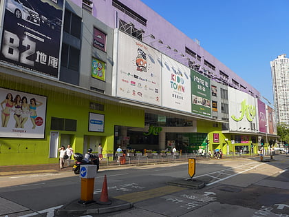
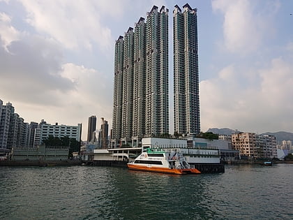
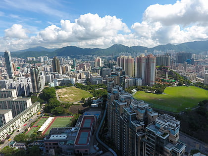
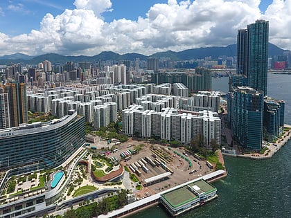
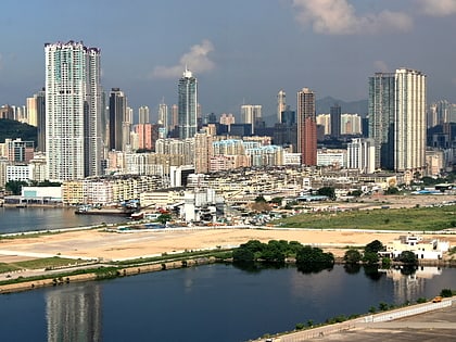
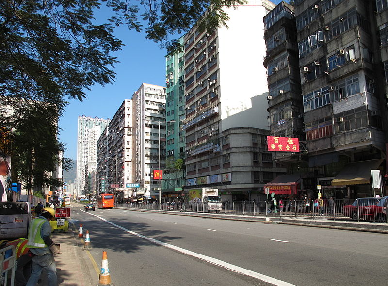
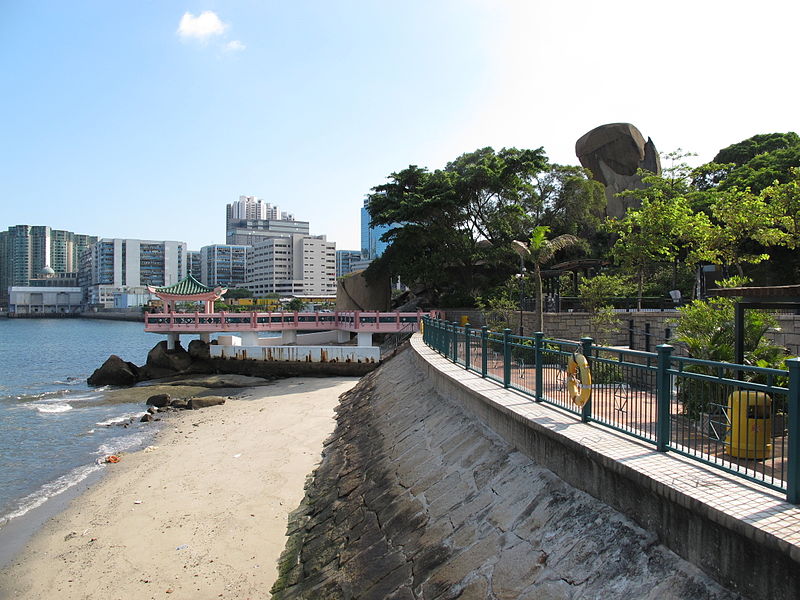
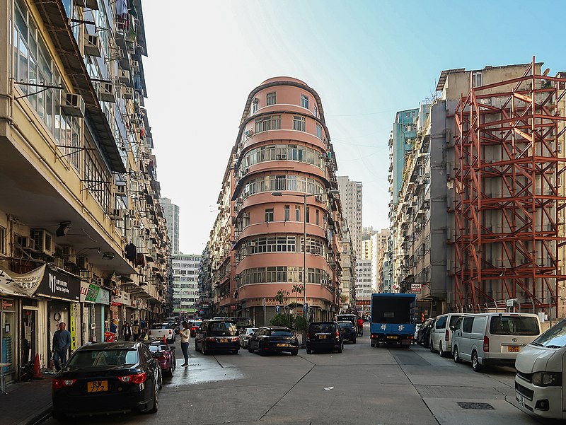
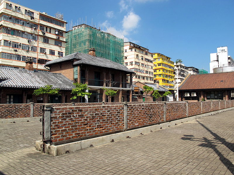
To Kwa Wan is a bay and an area of the eastern shore of Kowloon peninsula. The area is part of urban Hong Kong, and is situated between Hok Yuen, Hung Hom, Ma Tau Wai and Ma Tau Kok. Administratively, the area belongs to the Kowloon City District of Kowloon. ()
Day trips
To Kwa Wan – popular in the area (distance from the attraction)
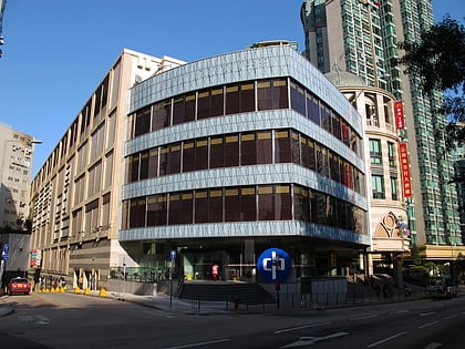
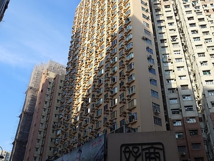
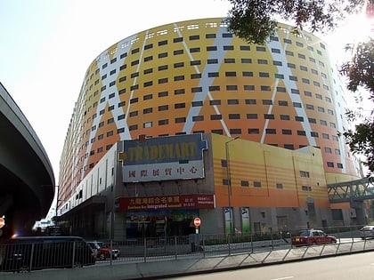
Nearby attractions include: Kowloon City Plaza, Grand Waterfront, Ho Man Tin, Whampoa Garden.
Frequently Asked Questions (FAQ)
Which popular attractions are close to To Kwa Wan?
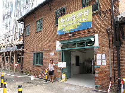
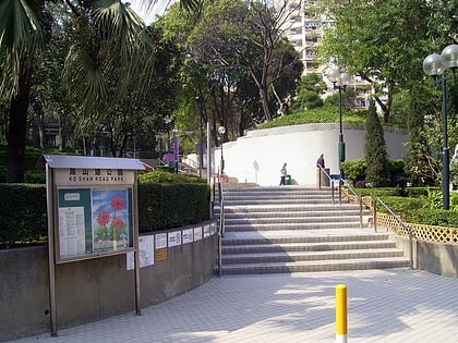
Nearby attractions include Kowloon City Ferry Pier, Hong Kong (7 min walk), Cattle Depot Artist Village, Hong Kong (8 min walk), Ko Shan Road Park, Hong Kong (9 min walk), Lok Wah Estate, Hong Kong (11 min walk).
How to get to To Kwa Wan by public transport?
The nearest stations to To Kwa Wan:
Bus
Train
Metro
Ferry
Bus
- Wyler Gardens (4 min walk)
- Kowloon City Ferry • Lines: 61X, 6F (7 min walk)
Train
- To Kwa Wan (4 min walk)
- Sung Wong Toi (17 min walk)
Metro
- To Kwa Wan • Lines: Tml (4 min walk)
- Sung Wong Toi • Lines: Tml (17 min walk)
Ferry
- Hung Hom Ferry Pier (28 min walk)



 MTR
MTR LTR
LTR Tram
Tram