Hung Hom, Hong Kong
Map
Gallery
Facts and practical information
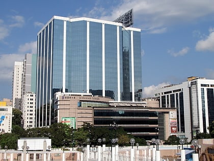
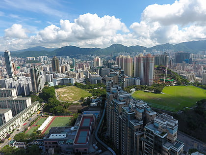
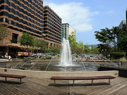
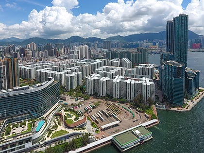
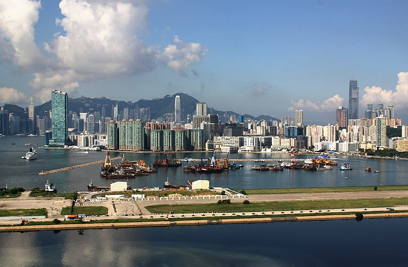
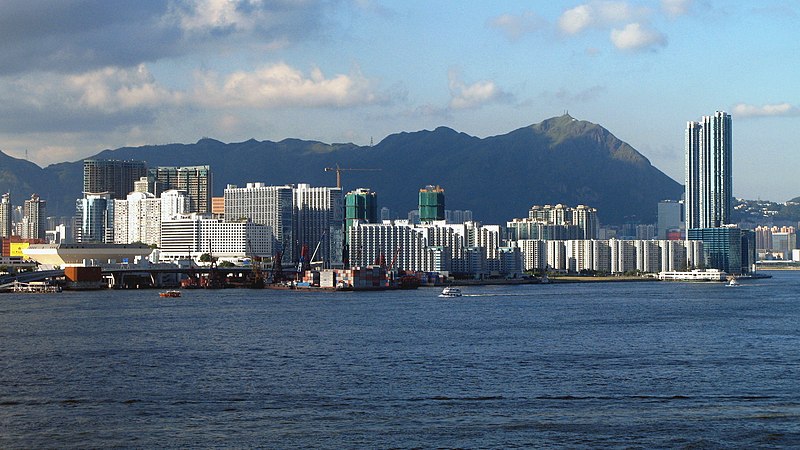
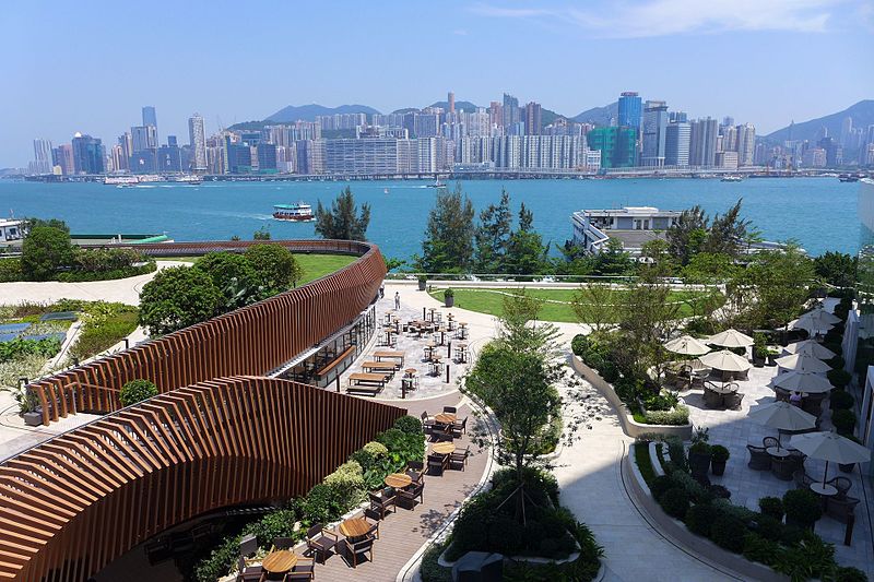
Hung Hom is an area in the southeast of Kowloon Peninsula, Hong Kong. Including the area of Whampoa, Tai Wan, Hok Yuen, Lo Lung Hang and No. 12 Hill are administratively part of the Kowloon City District, with a portion west of Hung Hom Bay in the Yau Tsim Mong District. Hung Hom serves mainly residential purposes, but it is mixed with some industrial buildings in the north. ()
Address
Hong Kong
ContactAdd
Social media
Add
Day trips
Hung Hom – popular in the area (distance from the attraction)
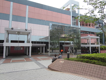
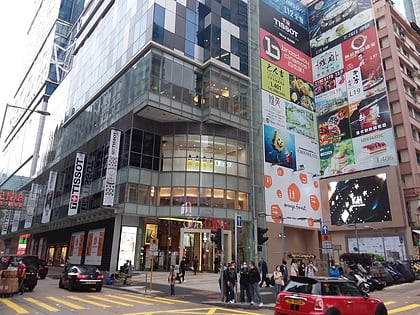
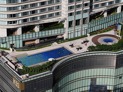
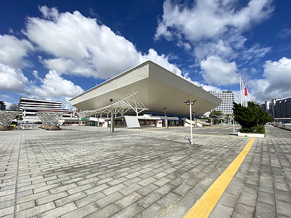
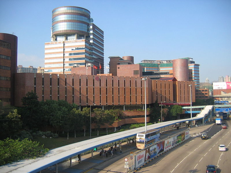
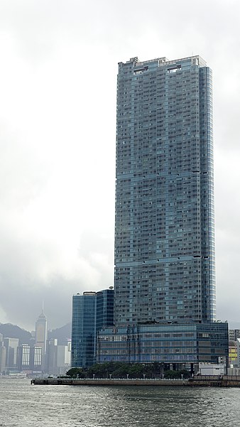
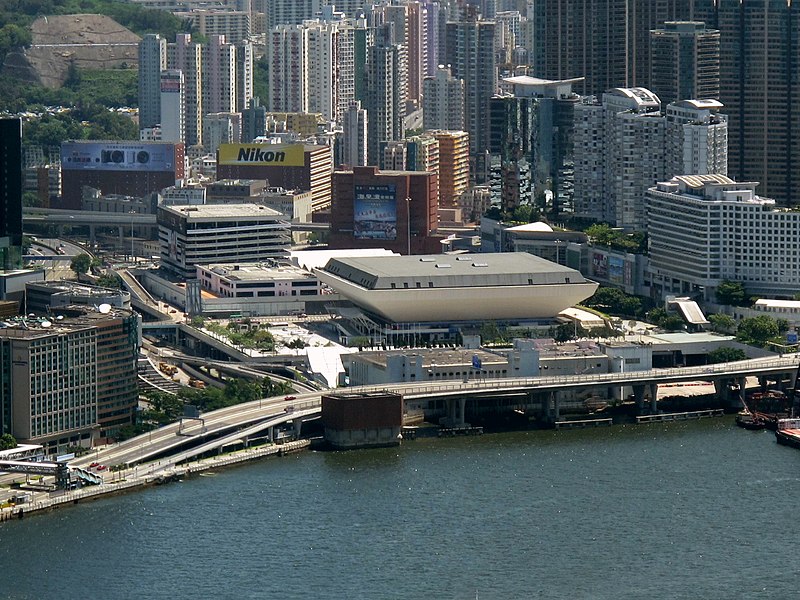
Nearby attractions include: Hong Kong Science Museum, The One Shopping Centre, K11 Art Mall, Hong Kong Coliseum.
Frequently Asked Questions (FAQ)
Which popular attractions are close to Hung Hom?
Nearby attractions include Lo Lung Hang, Hong Kong (7 min walk), Hung Hom Ferry Pier, Hong Kong (9 min walk), Hong Kong Coliseum, Hong Kong (10 min walk), Two Harbourfront, Hong Kong (11 min walk).
How to get to Hung Hom by public transport?
The nearest stations to Hung Hom:
Bus
Metro
Train
Ferry
Tram
Bus
- Hung Hom South Road • Lines: 8A (2 min walk)
- Hung Lok Road • Lines: 8A (4 min walk)
Metro
- Whampoa • Lines: Ktl (6 min walk)
- Hung Hom • Lines: Eal, Tml (8 min walk)
Train
- Hung Hom (8 min walk)
- To Kwa Wan (22 min walk)
Ferry
- Hung Hom Ferry Pier (10 min walk)
- Star Ferry Pier (36 min walk)
Tram
- Chun Yeung Street • Lines: 石塘咀 → 北角 Shek Tong Tsui → North (31 min walk)
- Fortress Hill • Lines: 上環 (西港城) → 筲箕灣 Western Market →, 北角 → 石塘咀 North Point → Shek Tong, 堅尼地城 → 筲箕灣 Kennedy Town → Shau K, 石塘咀 → 北角 Shek Tong Tsui → North, 筲箕灣 → 上環 (西港城) Shau Kei Wan → We, 筲箕灣 → 堅尼地城 Shau Kei Wan → Kenned, 筲箕灣 → 跑馬地 Shau Kei Wan → Happy V, 跑馬地 → 筲箕灣 Happy Valley → Shau Ke (32 min walk)



 MTR
MTR LTR
LTR Tram
Tram