Tai Wo Hau, Hong Kong
Map
Map

Facts and practical information
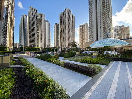
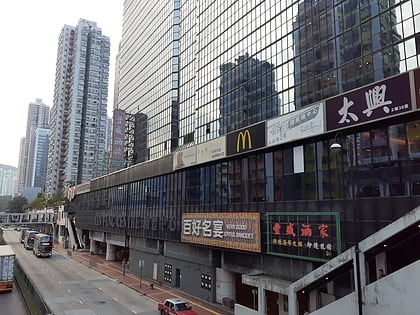
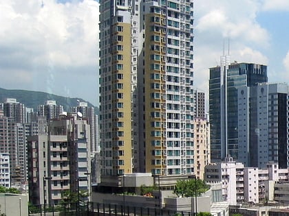
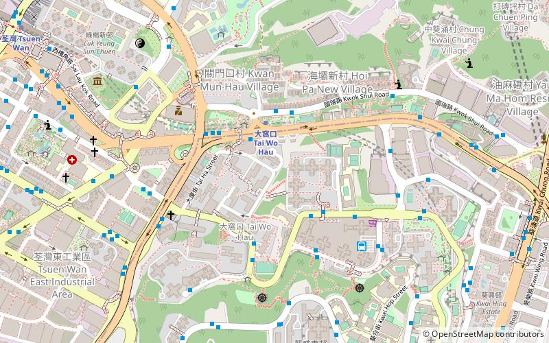
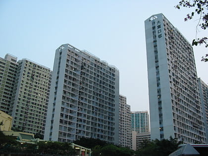
Tai Wo Hau is a place in Tsuen Wan across Tsuen Wan District and Kwai Tsing District. Its area mainly includes Tai Wo Hau Estate, Kwai Yin Court, Kwai Yung Court, and private buildings along Texaco Road. It also includes Kwok Shui Road at the north of Castle Peak Road. ()
Address
Hong Kong
ContactAdd
Social media
Add
Day trips
Tai Wo Hau – popular in the area (distance from the attraction)
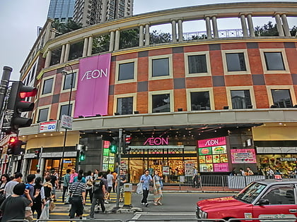
Nearby attractions include: Kwai Chung Plaza, Tsuen Wan Plaza, Skyline Plaza, Luk Yeung Galleria.
Frequently Asked Questions (FAQ)
Which popular attractions are close to Tai Wo Hau?
Nearby attractions include Crown of Thorns' Church, Hong Kong (6 min walk), Sam Tung Uk Museum, Hong Kong (11 min walk), Indi Home, Hong Kong (14 min walk), Kwai Hing, Hong Kong (14 min walk).
How to get to Tai Wo Hau by public transport?
The nearest stations to Tai Wo Hau:
Metro
Bus
Metro
- Tai Wo Hau • Lines: Twl (3 min walk)
- Kwai Hing • Lines: Twl (15 min walk)
Bus
- Tai Wo Hau Station • Lines: 260C, 290, 290A, 31, 36, 409, 409S, 49S, 57M, 58M, 58P, 59A, 61M, 67M, 68A, 69M, 69P, E31, E32, E32A, N252, N260 (4 min walk)
- Kwai Chung Estate • Lines: A32, Na32 (6 min walk)
 MTR
MTR LTR
LTR Tram
Tram
