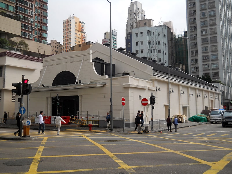
Hong Kong Community College, Hong Kong
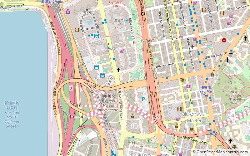
Map
Facts and practical information
Hong Kong Community College was established in 2001 and is a subsidiary of The Hong Kong Polytechnic University. HKCC offers associate degree and higher diploma programmes spanning the domains of arts, science, social sciences, business and the specialised areas of design and health studies for secondary school leavers. Initially located on the PolyU campus, HKCC now has two campuses separated from the university. ()
Address
9 海庭道 Hoi Ting RoadHong Kong
ContactAdd
Social media
Add
Getting there by public transportation
Public transportation stops near this location
- Metro
- Bus
- Train
 Metro
Metro
- Calculate route43M 3 min walk
- Calculate routeMong Kok 6 min walk
- Calculate routeHoi Fu Court 7 min walk
- Calculate routePitt Street 8 min walk
- Calculate routeYau Ma Tei 9 min walk
- Calculate routeOlympic 13 min walk
- Calculate routeMong Kok 14 min walk
- Calculate routeKowloon 15 min walk
- Calculate routeHong Kong West Kowloon 14 min walk
- Calculate routeHung Hom 32 min walk
Maps MTRMaps
 LTRMaps
 Tram
Tram
MTRMapsLTRMapsTramDay trips


Frequently Asked Questions (FAQ)
Which popular attractions are close to Hong Kong Community College?
Nearby attractions include Yau Ma Tei Fruit Market, Hong Kong (5 min walk), Ibrahim Mosque, Hong Kong (6 min walk), Yau Ma Tei, Hong Kong (8 min walk), Ferry Point, Hong Kong (10 min walk).
How to get to Hong Kong Community College by public transport?
The nearest stations to Hong Kong Community College:
Bus
Metro
Train
Bus
- 43M (3 min walk)
- Mong Kok • Lines: 52X, 68X, 905P (6 min walk)
Metro
- Yau Ma Tei • Lines: Ktl, Twl (9 min walk)
- Olympic • Lines: Tcl (13 min walk)
Train
- Hong Kong West Kowloon (14 min walk)
- Hung Hom (32 min walk)