Tseung Kwan O Tunnel, Hong Kong

Gallery (1)
Map

Map
Facts and practical information
Tseung Kwan O Tunnel is a 900-metre tunnel beneath Ma Yau Tong in Hong Kong. The tunnel was opened on 9 November 1990. Part of Route 7, it links Sau Mau Ping, Kwun Tong, Kowloon and the Tseung Kwan O New Town, Sai Kung District, the New Territories. It was used by 80,385 vehicles daily in 2011. ()
Address
Hong Kong
ContactAdd
Social media
Add
Getting there by public transportation
Public transportation stops near this location
- Metro
- Bus
 Metro
Metro
- Calculate routeMa Yau Tong Village 3 min walk
- Calculate routeAnderson Road 6 min walk
- Calculate routeTsui Lam Estate 10 min walk
- Calculate routePo Lam 21 min walk
- Calculate routeTiu Keng Leng 28 min walk
- Calculate routeLam Tin 31 min walk
- Calculate routeTseung Kwan O 31 min walk
Maps MTRMaps
 LTRMaps
 Tram
Tram
MTRMapsLTRMapsTramDay trips


Frequently Asked Questions (FAQ)
Which popular attractions are close to Tseung Kwan O Tunnel?
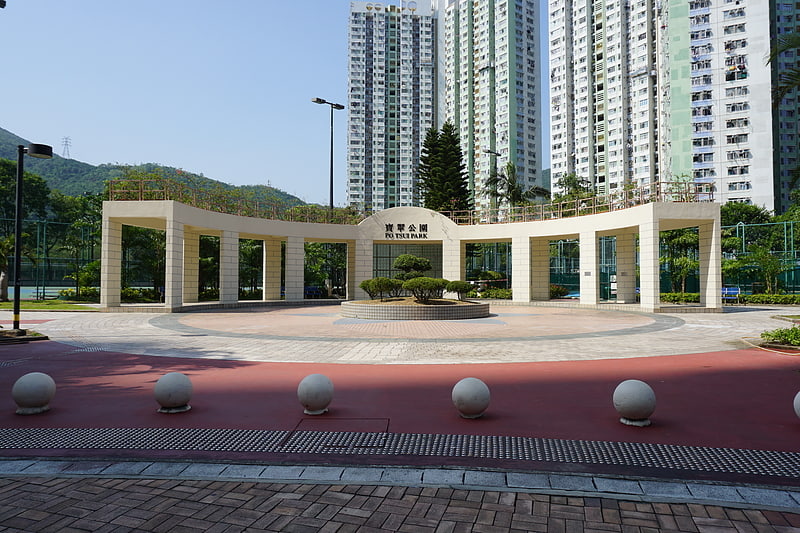
Nearby attractions include Ma Yau Tong, Hong Kong (5 min walk), Po Tsui Park, Hong Kong (16 min walk), Tai Sheung Tok, Hong Kong (17 min walk), Lam Tin Park, Hong Kong (17 min walk).
How to get to Tseung Kwan O Tunnel by public transport?
The nearest stations to Tseung Kwan O Tunnel:
Bus
Metro
Bus
- Ma Yau Tong Village • Lines: 290A, 95M (3 min walk)
- Anderson Road • Lines: 95M (6 min walk)
Metro
- Po Lam • Lines: Tkl (21 min walk)
- Tiu Keng Leng • Lines: Ktl, Tkl (28 min walk)