Pudong Football Stadium, Shanghai
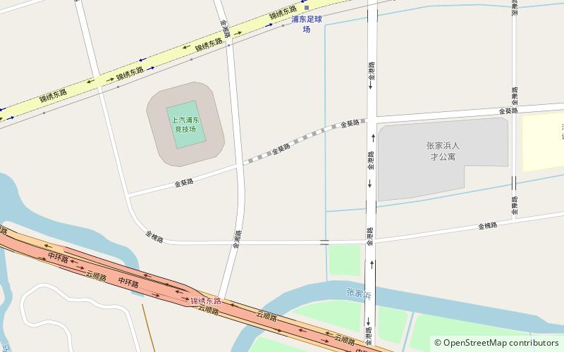
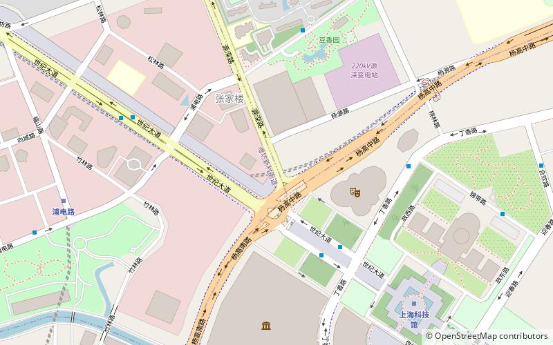
Map
Facts and practical information
The Pudong Football Stadium, currently named SAIC Motor Pudong Arena due to sponsorship reasons, is a football stadium in Shanghai, China. Completed in October 2020, it is the home of Chinese Super League club Shanghai Port. The stadium has a capacity for 37,000 spectators. ()
Address
浦东 (pu dong)Shanghai
ContactAdd
Social media
Add
Getting there by public transportation
Public transportation stops near this location
- Metro
- Bus
 Metro
Metro
- Calculate routePudong Football Stadium 8 min walk
- Calculate routeYunshun Road 21 min walk
- Calculate routeJinyue Road 24 min walk
- Calculate routeYunqiao Road Jinxiang Road 20 min walk
- Calculate routeChuanqiao Road Shenjiang Road 25 min walk
Day trips


Frequently Asked Questions (FAQ)
How to get to Pudong Football Stadium by public transport?
The nearest stations to Pudong Football Stadium:
Metro
Bus
Metro
- Pudong Football Stadium • Lines: 14 (8 min walk)
- Yunshun Road • Lines: 14 (21 min walk)
Bus
- Yunqiao Road Jinxiang Road • Lines: 987 (20 min walk)
- Chuanqiao Road Shenjiang Road • Lines: 987 (25 min walk)