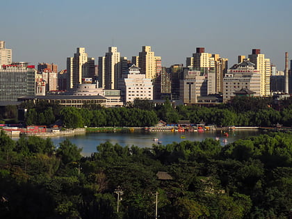
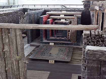
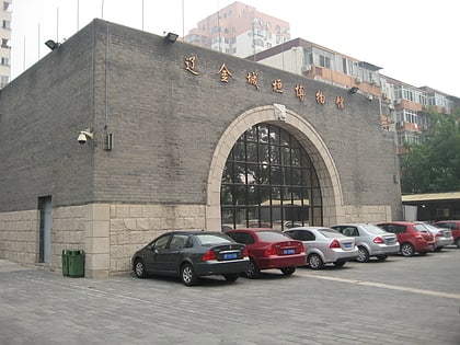
Fengtai District, Beijing
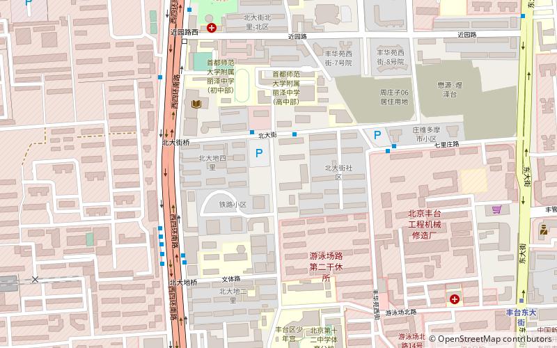
Map
Gallery
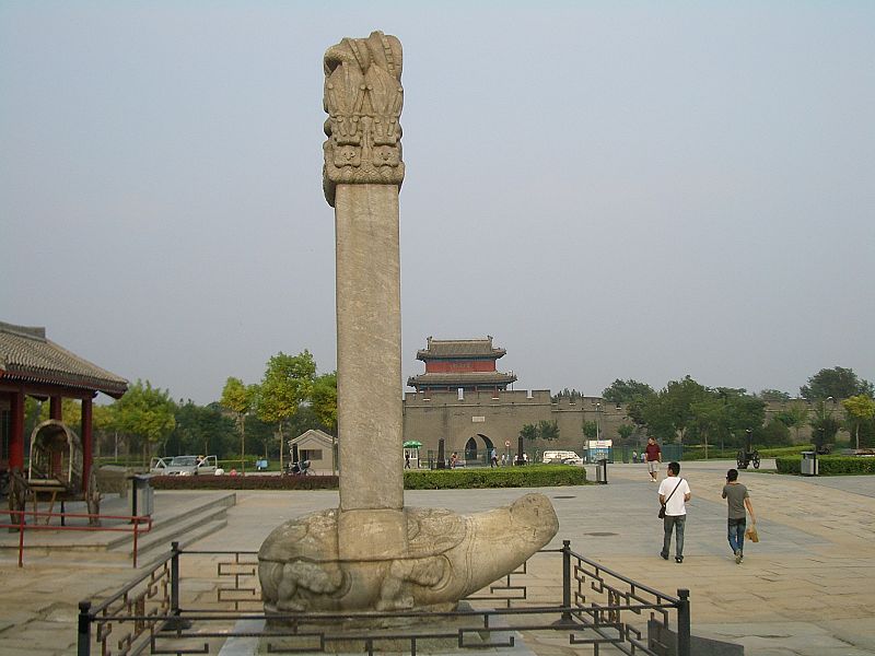
Facts and practical information
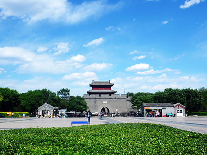
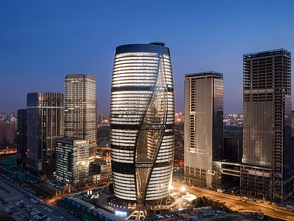
Fengtai District is a district of the municipality of Beijing. It lies mostly to the southwest of the city center, extending into the city's southwestern suburbs beyond the Sixth Ring Road, but also to the south and, to a smaller extent, the southeast, where it has borders with Chaoyang District and Dongcheng District. ()
Day trips
Fengtai District – popular in the area (distance from the attraction)
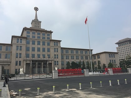
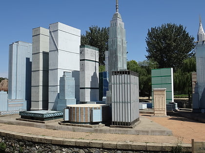
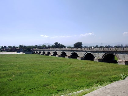
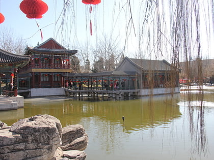
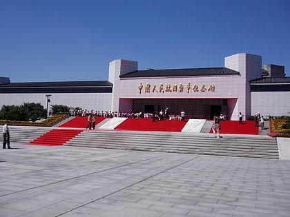
Nearby attractions include: Military Museum of the Chinese People's Revolution, Beijing World Park, Marco Polo Bridge, Daguanyuan.
Frequently Asked Questions (FAQ)
How to get to Fengtai District by public transport?
The nearest stations to Fengtai District:
Bus
Metro
Train
Bus
- 北大街 • Lines: 349 (2 min walk)
- 游泳场北路东口 • Lines: 459, 678 (12 min walk)
Metro
- Fengtai Dongdajie • Lines: 9 (12 min walk)
- Qilizhuang • Lines: 14, 9 (18 min walk)
Train
- Beijing Fengtai (24 min walk)

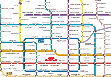 Subway