Tai Ngau Wu Teng, Hong Kong
Map

Map

Facts and practical information
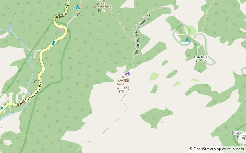
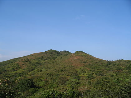
Tai Ngau Wu Teng is a mountain in the southeastern part of Lantau Island, Hong Kong, with a height of 275 metres above sea level. ()
Address
Hong Kong
ContactAdd
Social media
Add
Day trips
Tai Ngau Wu Teng – popular in the area (distance from the attraction)
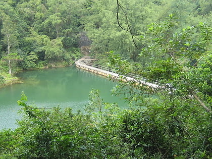
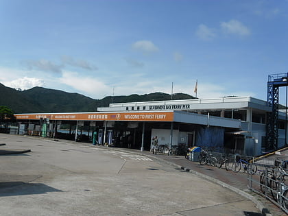
Nearby attractions include: Shap Long Reservoir, Pui O Beach, Silvermine Bay Ferry Pier, Mui Wo.
Frequently Asked Questions (FAQ)
How to get to Tai Ngau Wu Teng by public transport?
The nearest stations to Tai Ngau Wu Teng:
Bus
Bus
- Swire House Holiday House • Lines: 1, 2, 3M, 4, A35, N1, N35 (9 min walk)
- Nam Shan Sam Uk Tsuen • Lines: 1, 2, 3M, 4, A35, N1, N35 (13 min walk)

 MTR
MTR LTR
LTR Tram
Tram


