Pui O Beach, Hong Kong
Map
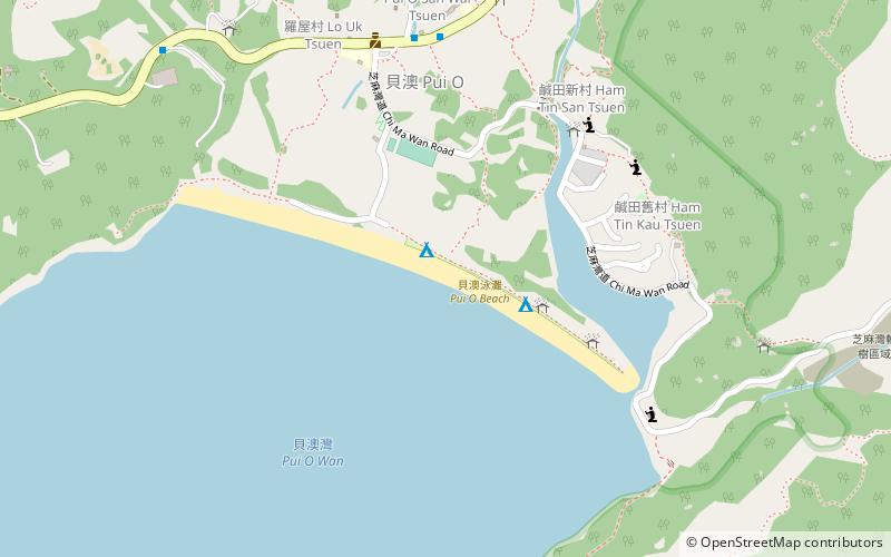
Map

Facts and practical information
Pui O Beach is a gazetted beach running along almost the entire shoreline of Pui O in Lantau Island, Hong Kong, facing Pui O Wan and neighbouring Chi Ma Wan Peninsula. The beach has barbecue pits and is managed by the Leisure and Cultural Services Department of the Hong Kong Government. The beach is 260 metres long and is rated as good to fair by the Environmental Protection Department for its water quality in the past twenty years. The water flow of Pui O Beach comes from the sea and nearby rivers, so Pui O Beach is the junction of fresh water. ()
Elevation: 0 ft a.s.l.Coordinates: 22°14'21"N, 113°58'41"E
Day trips
Pui O Beach – popular in the area (distance from the attraction)
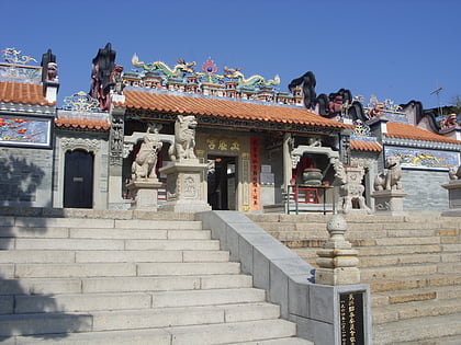
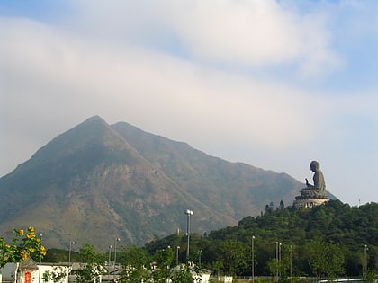
Nearby attractions include: Cheung Po Tsai Cave, Lantau Trail, Yuk Hui Temple, Lantau Peak.
Frequently Asked Questions (FAQ)
How to get to Pui O Beach by public transport?
The nearest stations to Pui O Beach:
Bus
Bus
- Sun Wai Tsuen • Lines: 1, 2, 3M, 4, A35, N1, N35 (8 min walk)
- Lo Uk Tsuen • Lines: 1, 2, 3M, 4, A35, N1, N35 (9 min walk)

 MTR
MTR LTR
LTR Tram
Tram

