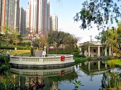
Liu To
Map
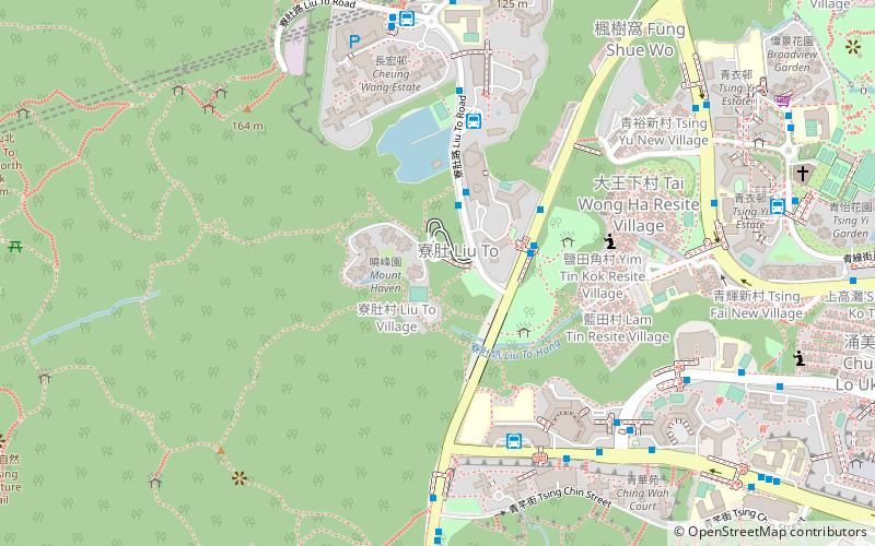
Map

Facts and practical information
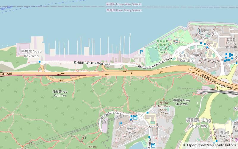
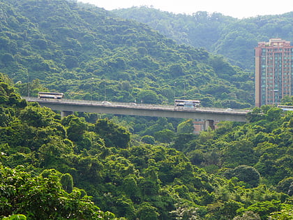
Liu To is the area around the valley in the midwest of Tsing Yi Island. There is a stream in the valley watering the narrow band of agricultural fields of Liu To Village. Its water formerly filled the Tsing Yi Lagoon and nurtured the rice paddies around the lagoon but now is just water flowing in the underground nullah to the Rambler Channel. The valley has occasionally been referred to as the Liu To Valley and the surrounding hills as Liu To Hill. ()
Coordinates: 22°21'10"N, 114°5'49"E
Location
Kwai Tsing
ContactAdd
Social media
Add
Day trips
Liu To – popular in the area (distance from the attraction)
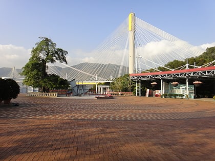
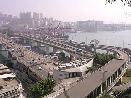
Nearby attractions include: Maritime Square, Chun Kwan Temple, Tsing Yi North Coastal Road, Lantau Link Visitors Centre.

