Tsing Yi, Hong Kong
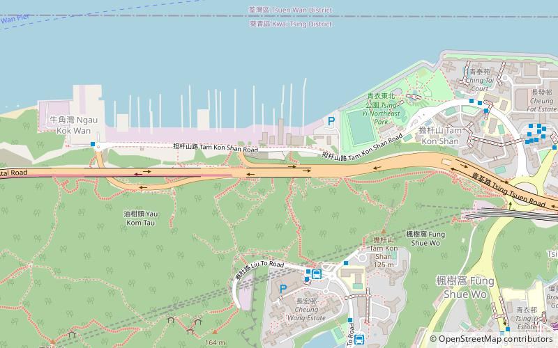
Map
Gallery
Facts and practical information
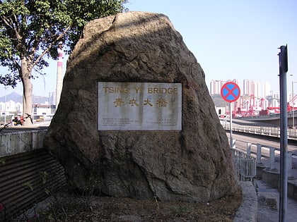
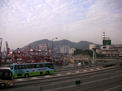
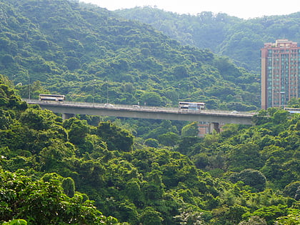
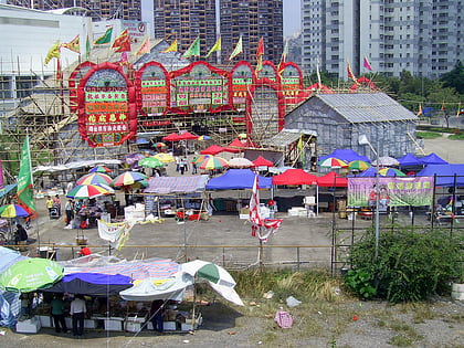
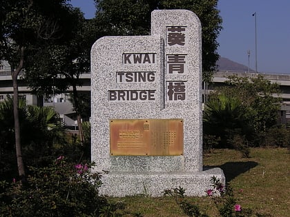
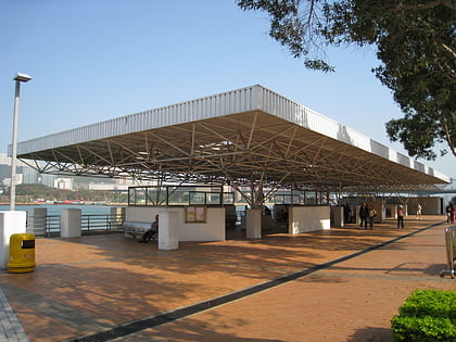
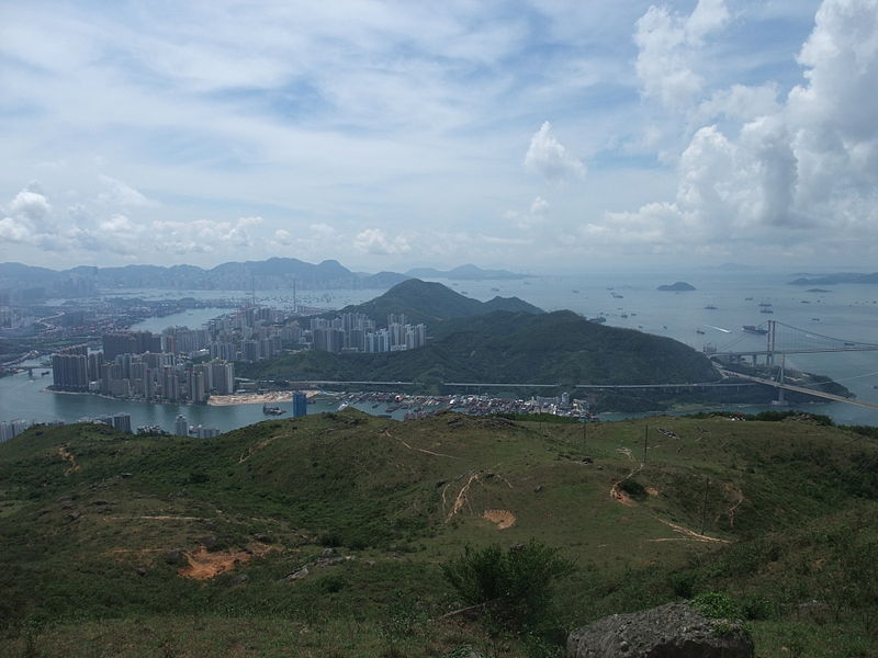
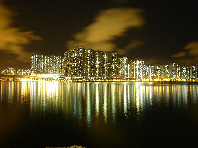
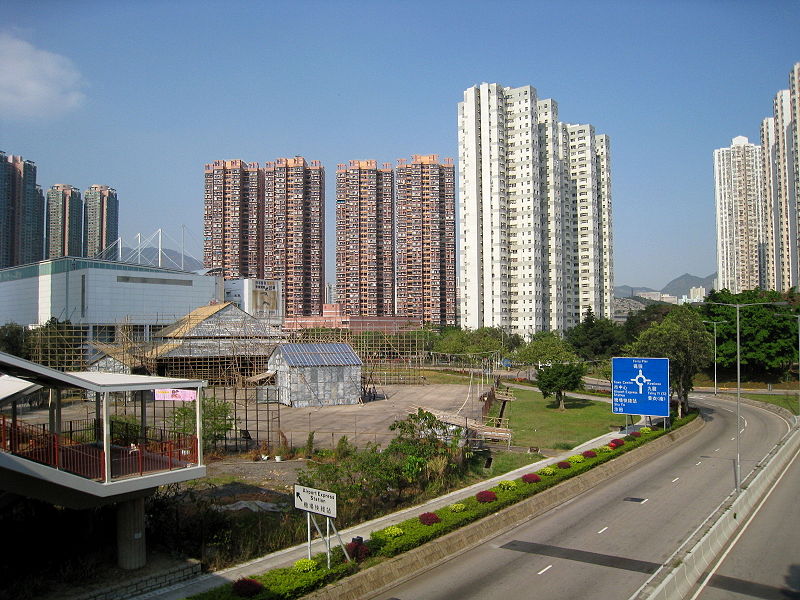
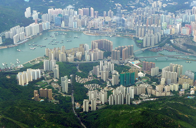
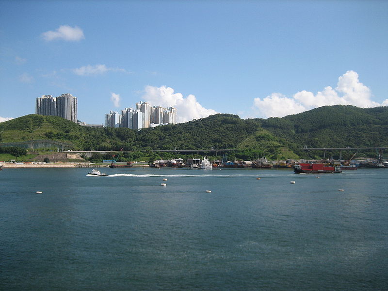
Tsing Yi, sometimes referred to as Tsing Yi Island, is an island in the urban area of Hong Kong, to the northwest of Hong Kong Island and south of Tsuen Wan. With an area of 10.69 km2, the island has extended drastically by reclamation along almost all its natural shore and the annexation of Nga Ying Chau and Chau Tsai. Three major bays or harbours, Tsing Yi Lagoon, Mun Tsai Tong and Tsing Yi Bay in the northeast, have been completely reclaimed for new towns. ()
Address
葵青区 (青衣)Hong Kong
ContactAdd
Social media
Add
Day trips
Tsing Yi – popular in the area (distance from the attraction)
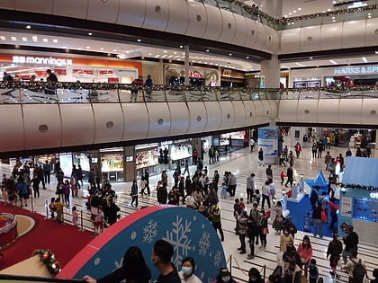
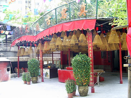
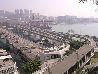
Nearby attractions include: Maritime Square, Chun Kwan Temple, Tsing Yi North Coastal Road, Cheung Tsing Bridge.
Frequently Asked Questions (FAQ)
Which popular attractions are close to Tsing Yi?
Nearby attractions include Sai Shan, Hong Kong (9 min walk), Liu To Bridge, Hong Kong (11 min walk), Nam Wan Tunnel, Hong Kong (14 min walk), Technological and Higher Education Institute of Hong Kong, Hong Kong (14 min walk).
How to get to Tsing Yi by public transport?
The nearest stations to Tsing Yi:
Bus
Metro
Bus
- Cheung Hong Estate • Lines: A32, E32, Na32 (7 min walk)
- Ching Wah Court • Lines: 140M, 308M, 68E, A32, E31, E32, N31, Na32 (7 min walk)
Metro
- Tsing Yi • Lines: Ael, Tcl (26 min walk)



 MTR
MTR LTR
LTR Tram
Tram