Sai Wan Ho, Hong Kong
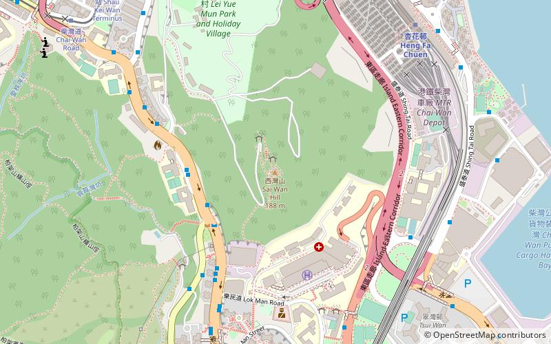
Map

Gallery
Facts and practical information
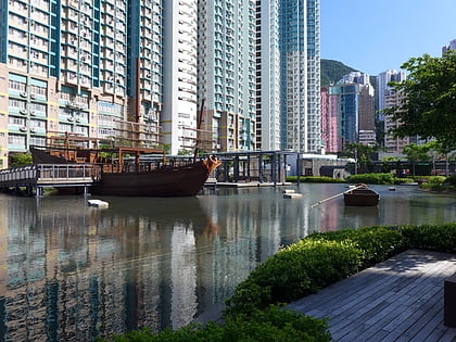
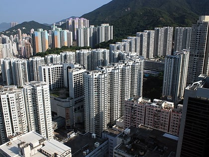
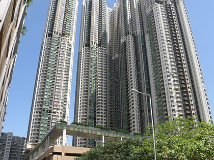
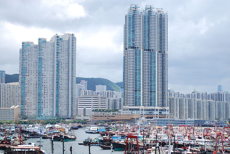
Sai Wan Ho is a primarily residential area on the northeastern shore of Hong Kong Island, Hong Kong, between Quarry Bay and Shau Kei Wan. It is part of the Eastern District, and is administered together with surrounding areas under the Eastern District Council. ()
Address
Hong Kong
ContactAdd
Social media
Add
Day trips
Sai Wan Ho – popular in the area (distance from the attraction)
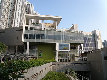
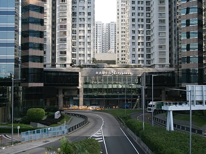
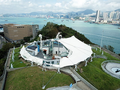
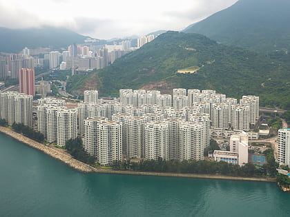
Nearby attractions include: Domain Shopping Centre, Cityplaza, Hong Kong Museum of Coastal Defence, Heng Fa Chuen.
Frequently Asked Questions (FAQ)
Which popular attractions are close to Sai Wan Ho?
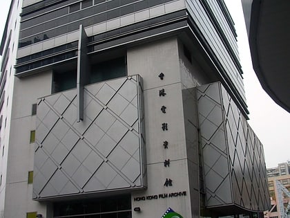
Nearby attractions include Sai Wan Ho Civic Centre, Hong Kong (3 min walk), Hong Kong Film Archive, Hong Kong (5 min walk), Aldrich Bay Park, Hong Kong (5 min walk), Eastern District, Hong Kong (6 min walk).
How to get to Sai Wan Ho by public transport?
The nearest stations to Sai Wan Ho:
Bus
Tram
Metro
Ferry
Bus
- Tai On Building • Lines: 102, 106P, 2, 682, 82X, 8H, N8X (1 min walk)
- Sai Wan Ho Station • Lines: 14, 2X, 694, 720, 720X (2 min walk)
Tram
- Tai On Street • Lines: 上環 (西港城) → 筲箕灣 Western Market →, 堅尼地城 → 筲箕灣 Kennedy Town → Shau K, 跑馬地 → 筲箕灣 Happy Valley → Shau Ke (1 min walk)
- Tai Hong Street • Lines: 上環 (西港城) → 筲箕灣 Western Market →, 堅尼地城 → 筲箕灣 Kennedy Town → Shau K, 筲箕灣 → 上環 (西港城) Shau Kei Wan → We, 筲箕灣 → 堅尼地城 Shau Kei Wan → Kenned, 筲箕灣 → 跑馬地 Shau Kei Wan → Happy V, 跑馬地 → 筲箕灣 Happy Valley → Shau Ke (2 min walk)
Metro
- Sai Wan Ho • Lines: Isl (2 min walk)
- Tai Koo • Lines: Isl (10 min walk)
Ferry
- Sam Ka Tsuen Ferry Pier (29 min walk)

 MTR
MTR LTR
LTR Tram
Tram