Silk Roads: the Routes Network of Chang'an-Tianshan Corridor, Xi'an
Facts and practical information
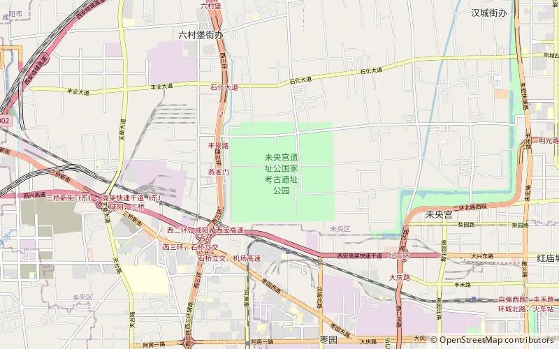
The Silk Roads: the Routes Network of Chang'an-Tianshan Corridor, located in the historic city of Xi'an, China, is an extensive network of trade routes that were central to cultural interaction through regions of the Asian continent for many centuries. Inscribed as a UNESCO World Heritage Site, this network is a testament to the exchange of goods, ideas, and cultures that shaped the history and civilizations of the East and the West.
The corridor spans an impressive 5,000 kilometers, crossing China, Kazakhstan, and Kyrgyzstan. It is a part of the ancient Silk Roads, which were not just one but many trade routes linking the East with the Mediterranean and the European world. Xi'an, known historically as Chang'an, was the eastern terminus of the Silk Road and a melting pot of cultures and religions, as well as the capital of several important Chinese dynasties.
The Routes Network of Chang'an-Tianshan Corridor includes 33 components, among them are the ruins of palaces, Buddhist cave temples, ancient paths, posthouses, passes, beacon towers, sections of the Great Wall, fortifications, tombs, and religious buildings. These remnants are silent witnesses to the intense trade of silk, spices, gold, and ceramics, as well as the spread of technological innovations, religions, and philosophic ideas.
Visitors today can explore the ancient city of Xi'an, with its famed Terracotta Army, the historic city walls, and the Muslim Quarter, which gives a glimpse into the city's diverse past. The routes also offer a unique opportunity to see the blend of architectural styles and cultural relics that have survived through the ages. The Jiaohe Ruins, the Buddhist temple complex at Kizil, and the Bezeklik Thousand Buddha Caves are just a few of the significant sites along the corridor.
The Silk Roads: the Routes Network of Chang'an-Tianshan Corridor is more than a collection of historical sites; it symbolizes the power of connectivity and the enduring nature of cultural exchange. It stands as a reminder of the shared history of humanity and the unifying potential of commerce and communication.
Xi'an
- Train
 Train
Train
- Calculate routeSanmincun 28 min walk


Frequently Asked Questions (FAQ)
How to get to Silk Roads: the Routes Network of Chang'an-Tianshan Corridor by public transport?
Train
- Sanmincun (28 min walk)