Chongqing Subdistrict, Changchun
Map
Facts and practical information
Address
Changchun
ContactAdd
Social media
Add
Getting there by public transportation
Public transportation stops near this location
- Metro
- Light rail
 Metro
Metro
- Calculate routeRenmin Square 11 min walk
- Calculate routeShengli Park 17 min walk
- Calculate routeJiefang Avenue 26 min walk
- Calculate routeWenhua Square 28 min walk
- Calculate routeXi'an Bridge 23 min walk
- Calculate routeNanchang Road 27 min walk
Day trips
Chongqing Subdistrict – popular in the area (distance from the attraction)
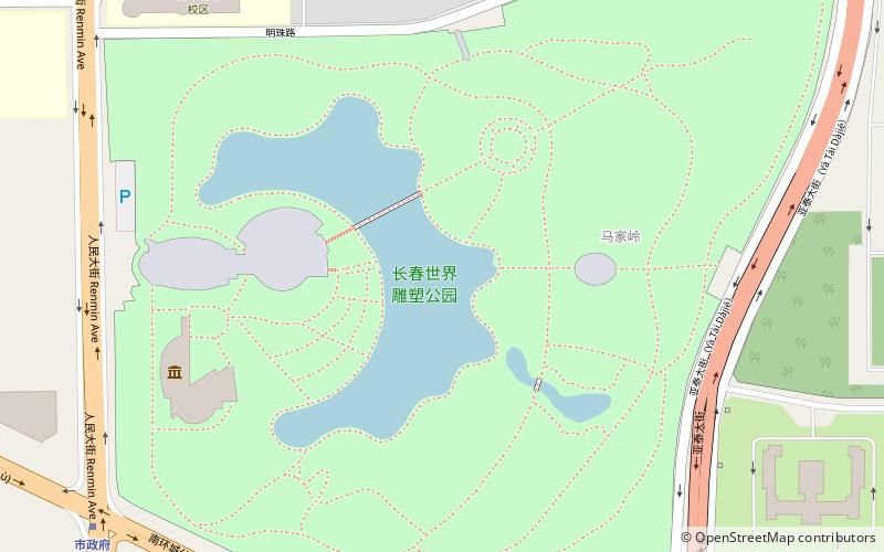
Nearby attractions include: Museum of the Imperial Palace of the Manchu State, Changchun World Sculpture Park, Changchun Stadium, Banruo Temple.


Frequently Asked Questions (FAQ)
How to get to Chongqing Subdistrict by public transport?
The nearest stations to Chongqing Subdistrict:
Metro
Light rail
Metro
- Renmin Square • Lines: 1 (11 min walk)
- Shengli Park • Lines: 1 (17 min walk)
Light rail
- Xi'an Bridge • Lines: 3 (23 min walk)
- Nanchang Road • Lines: 3 (27 min walk)