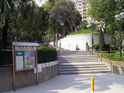
Hok Yuen, Hong Kong
Map
Map

Facts and practical information
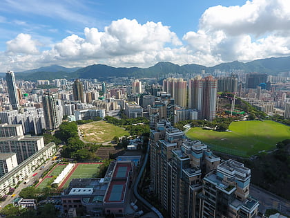
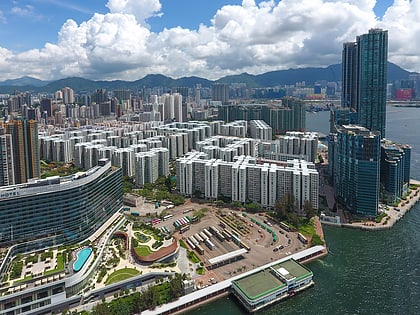
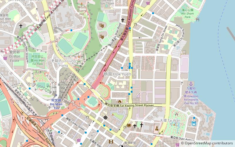
Hok Yuen or formerly Hok Un is a place in at the southeastern coast of Kowloon Peninsula, Hong Kong. It is at the north of Hung Hom, south of Quarry Hill and east of Lo Lung Hang. ()
Address
Hong Kong
ContactAdd
Social media
Add
Day trips
Hok Yuen – popular in the area (distance from the attraction)
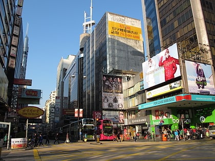
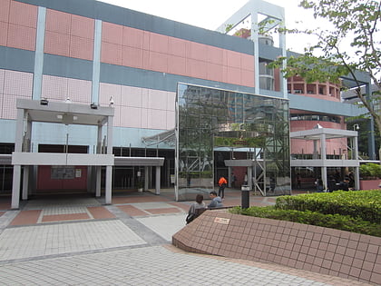
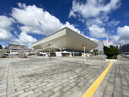
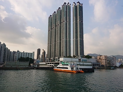
Nearby attractions include: Nathan Road, Hong Kong Science Museum, Hong Kong Coliseum, Grand Waterfront.
Frequently Asked Questions (FAQ)
Which popular attractions are close to Hok Yuen?
Nearby attractions include Ko Shan Road Park, Hong Kong (6 min walk), Lo Lung Hang, Hong Kong (7 min walk), Hung Hom, Hong Kong (11 min walk), To Kwa Wan, Hong Kong (12 min walk).
How to get to Hok Yuen by public transport?
The nearest stations to Hok Yuen:
Bus
Metro
Train
Ferry
Bus
- Valley Road Hung Hom • Lines: 14X (6 min walk)
- Kun Yam Street • Lines: 8A (7 min walk)
Metro
- Ho Man Tin • Lines: Ktl, Tml (8 min walk)
- To Kwa Wan • Lines: Tml (11 min walk)
Train
- To Kwa Wan (11 min walk)
- Hung Hom (16 min walk)
Ferry
- Hung Hom Ferry Pier (19 min walk)

 MTR
MTR LTR
LTR Tram
Tram