Shanghai Subdistrict, Fuzhou
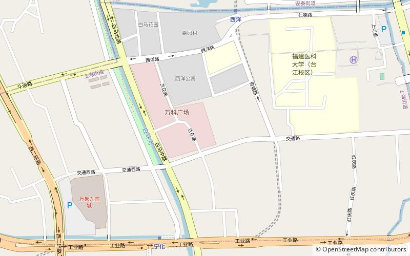
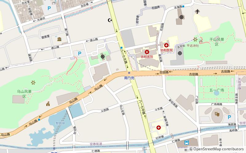
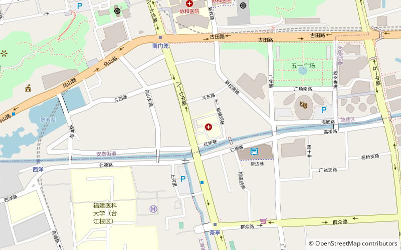
Map
Facts and practical information
Address
Fuzhou
ContactAdd
Social media
Add
Getting there by public transportation
Public transportation stops near this location
- Metro
- Bus
 Metro
Metro
- Calculate routeNinghua 8 min walk
- Calculate routeXiyang 9 min walk
- Calculate routeChating 15 min walk
- Calculate routeXiangban 19 min walk
- Calculate route茶亭(附一医院) 15 min walk
- Calculate route洋头口 16 min walk
- Calculate route南门(福州儿童医院) 16 min walk
- Calculate route省人民医院 19 min walk
Day trips


Frequently Asked Questions (FAQ)
Which popular attractions are close to Shanghai Subdistrict?
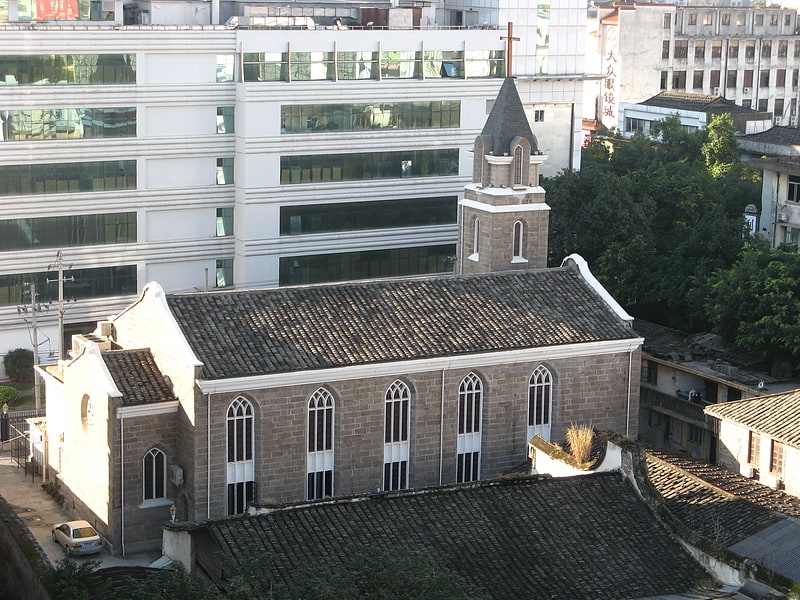
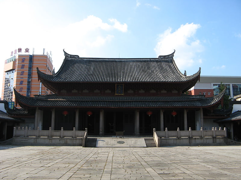
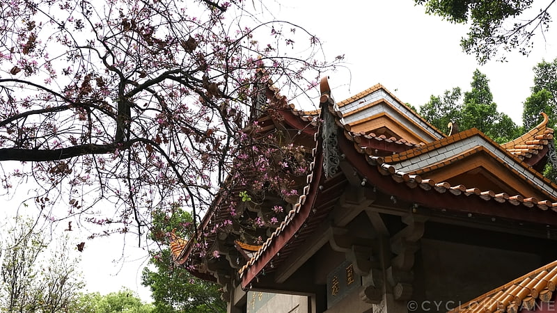
Nearby attractions include Fujian Medical University, Fuzhou (14 min walk), Xichan Temple, Fuzhou (17 min walk), Aowei Church of Our Lady of the Holy Rosary, Fuzhou (17 min walk), Antai, Fuzhou (19 min walk).
How to get to Shanghai Subdistrict by public transport?
The nearest stations to Shanghai Subdistrict:
Metro
Bus
Metro
- Ninghua • Lines: 福州轨道交通二号线 (8 min walk)
- Xiyang • Lines: 福州轨道交通二号线 (9 min walk)
Bus
- 茶亭(附一医院) • Lines: 1 (15 min walk)
- 洋头口 • Lines: 1 (16 min walk)