Ma Yau Tong, Hong Kong
Map
Map

Facts and practical information
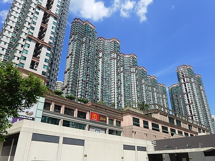
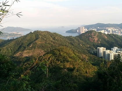
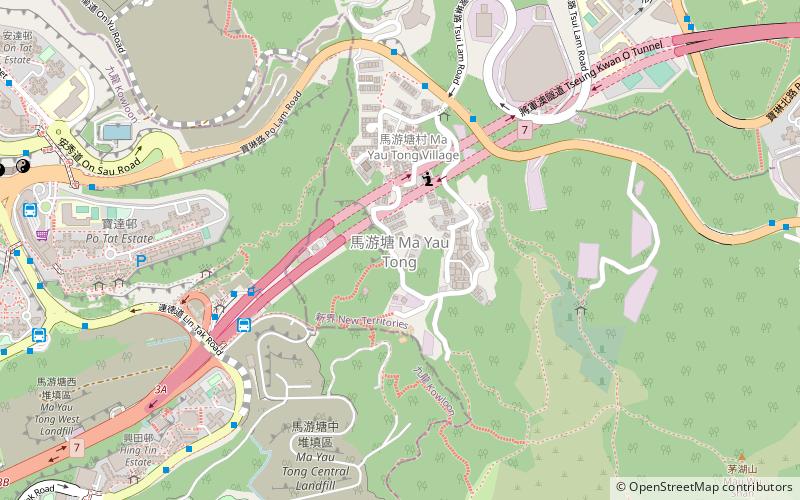
Ma Yau Tong is an area on a mountain pass between Po Lam of Tseung Kwan O New Town and Lam Tin of urban New Kowloon in Hong Kong. It is named after the village of the same name. It is known as Lau Tong and Ma Lau Tong in early 20th Century maps. Ma Yau Tong is on the border of New Kowloon and the New Territories. ()
Address
Hong Kong
ContactAdd
Social media
Add
Day trips
Ma Yau Tong – popular in the area (distance from the attraction)
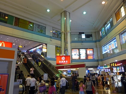
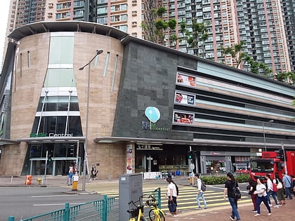
Nearby attractions include: Metro City, Apm, Sceneway Plaza, Park Central.
Frequently Asked Questions (FAQ)
Which popular attractions are close to Ma Yau Tong?
Nearby attractions include Tseung Kwan O Tunnel, Hong Kong (5 min walk), Lam Tin Park, Hong Kong (13 min walk), Tai Sheung Tok, Hong Kong (17 min walk), Sau Mau Ping, Hong Kong (21 min walk).
How to get to Ma Yau Tong by public transport?
The nearest stations to Ma Yau Tong:
Bus
Metro
Bus
- Ma Yau Tong Village • Lines: 290A, 95M (6 min walk)
- Anderson Road • Lines: 95M (7 min walk)
Metro
- Po Lam • Lines: Tkl (25 min walk)
- Lam Tin • Lines: Ktl (26 min walk)

 MTR
MTR LTR
LTR Tram
Tram