Sacred Hill, Hong Kong
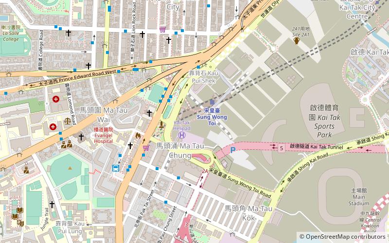
Map
Facts and practical information
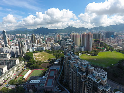
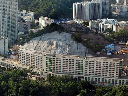
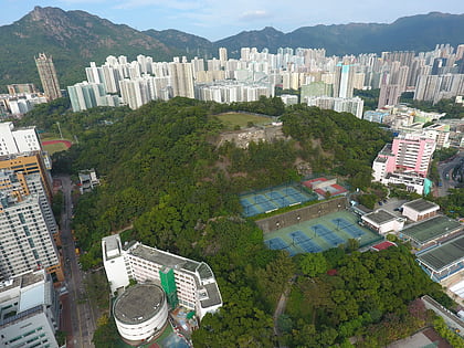
Sacred Hill is a disappeared hill in Kowloon, Hong Kong. It is where a historical boulder called Sung Wong Toi was previously located. Sacred Hill is also known as Hill of the King of Sung in some old maps. The name "Sacred Hill" is widely believed to be a name given by foreigners as no earlier corresponding Chinese name is known. ()
Coordinates: 22°19'31"N, 114°11'27"E
Address
Hong Kong
ContactAdd
Social media
Add
Day trips
Sacred Hill – popular in the area (distance from the attraction)
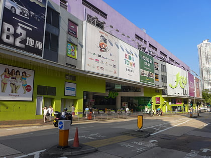
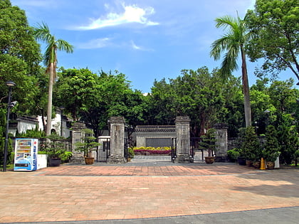
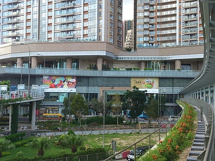
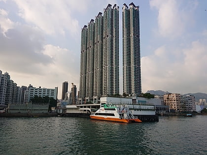
Nearby attractions include: Kowloon City Plaza, Kowloon Walled City Park, Mikiki, Grand Waterfront.
Frequently Asked Questions (FAQ)
Which popular attractions are close to Sacred Hill?
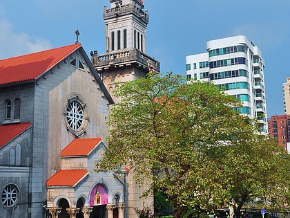
Nearby attractions include Sung Wong Toi, Hong Kong (4 min walk), Holy Trinity Cathedral, Hong Kong (4 min walk), Ma Tau Wai, Hong Kong (4 min walk), Kai Tak Tunnel, Hong Kong (6 min walk).
How to get to Sacred Hill by public transport?
The nearest stations to Sacred Hill:
Metro
Train
Bus
Metro
- Sung Wong Toi • Lines: Tml (2 min walk)
- To Kwa Wan • Lines: Tml (16 min walk)
Train
- Sung Wong Toi (2 min walk)
- To Kwa Wan (16 min walk)
Bus
- Sung Wong Toi Park • Lines: 61X (3 min walk)
- Regal Oriental Hotel • Lines: 106P (4 min walk)
 MTR
MTR LTR
LTR Tram
Tram