Tai Tau Chau, Tung Ping Chau

Map
Facts and practical information
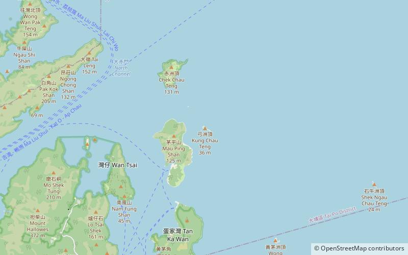
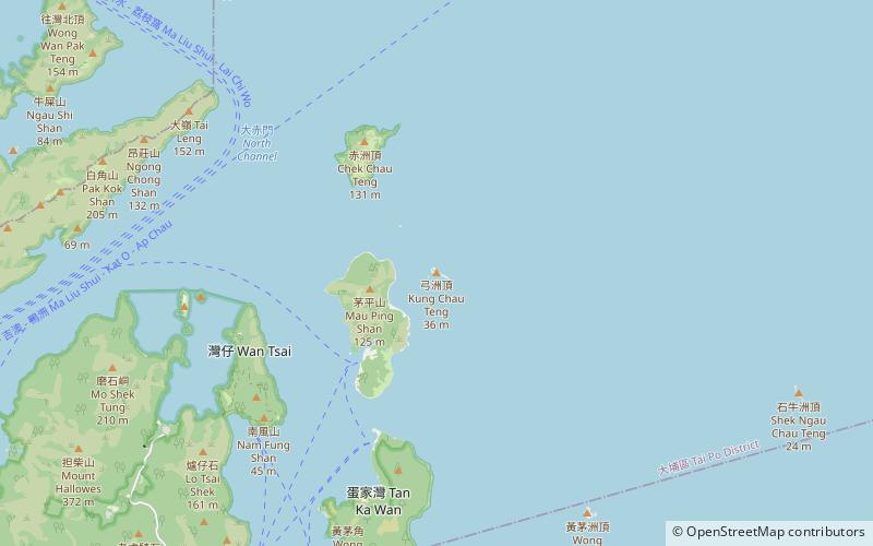
Tai Tau Chau also known for its less popular name Urn Island, is an island in the water body Sham Tuk Mun, Sai Kung District, Hong Kong. Inner Port Shelter and Rocky Harbour are in close proximity to the island. ()
Coordinates: 22°29'1"N, 114°22'14"E
Address
Tung Ping Chau
ContactAdd
Social media
Add
Day trips
Tai Tau Chau – popular in the area (distance from the attraction)
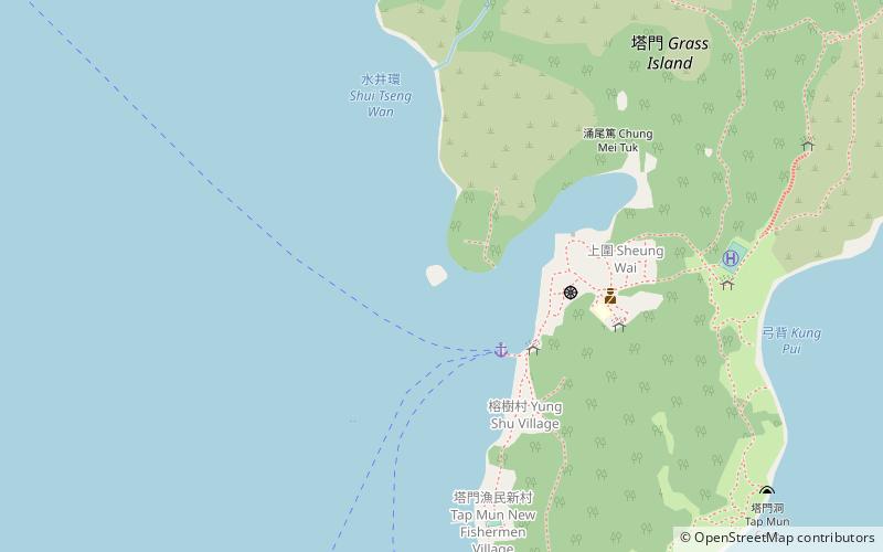
Nearby attractions include: Grass Island, Chek Chau, Chau Tsai Kok, Kung Chau.
Frequently Asked Questions (FAQ)
Which popular attractions are close to Tai Tau Chau?
Nearby attractions include Kung Chau, Hong Kong (1 min walk), Grass Island, Hong Kong (21 min walk).


