
Tung Ping Chau Travel Guide
Facts and practical information
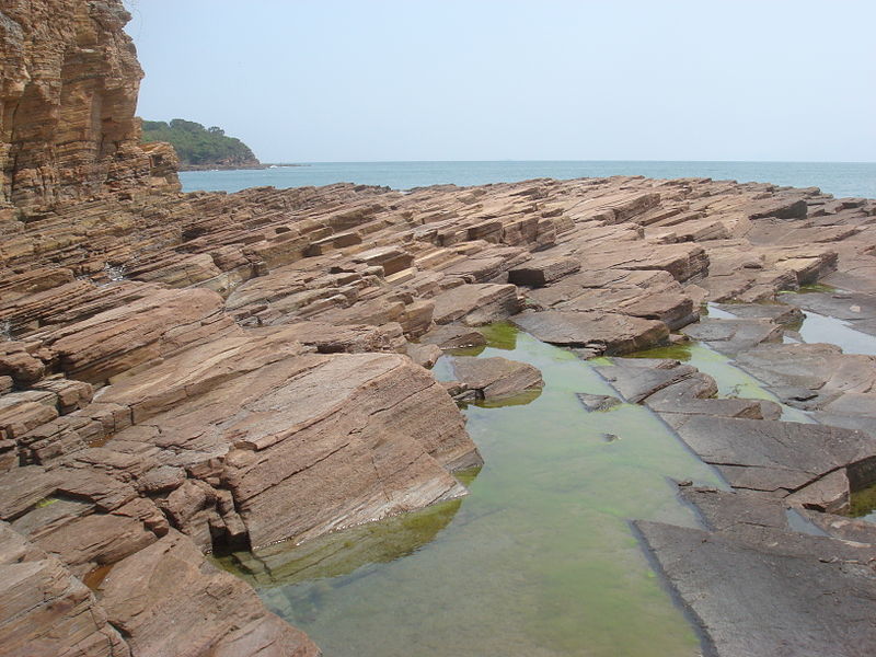
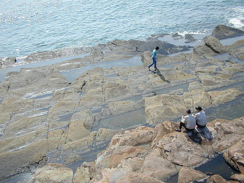
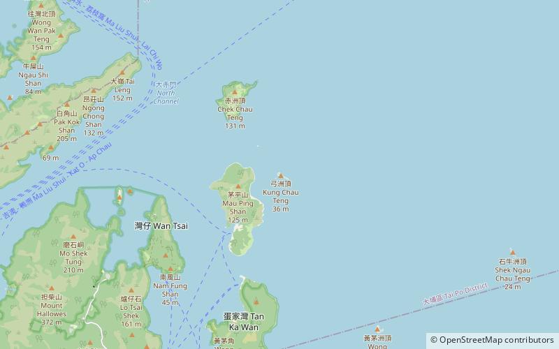
Tung Ping Chau, located in the Tai Po region of China, is a hidden gem waiting to be discovered by adventurous travelers. As the easternmost island in Hong Kong, this remote and untouched destination offers a unique escape from the bustling city life. With its rugged coastline, stunning rock formations, and crystal-clear waters, Tung Ping Chau is a paradise for nature lovers and outdoor enthusiasts.
The island is home to a diverse range of flora and fauna, making it a haven for birdwatching and wildlife photography. Visitors can explore the island's scenic trails and enjoy breathtaking views of the surrounding sea and cliffs. The Tung Ping Chau Marine Park, with its pristine coral reefs and rich marine life, provides an excellent opportunity for snorkeling and diving, allowing visitors to immerse themselves in the vibrant underwater world.
In addition to its natural beauty, Tung Ping Chau also boasts a rich cultural heritage. The island's traditional villages and ancient temples offer a glimpse into the local way of life and the centuries-old traditions that have been preserved through generations. Visitors can wander through the narrow alleys, admire the traditional architecture, and interact with the friendly locals to gain a deeper understanding of the island's history and culture.
Tai Po
Tung Ping Chau Attractions - What to See and Explore
Tung Ping Chau offers many attractions and places to visit. Here are the most important ones: Tai Tau Chau. Below you will find a complete list of places worth visiting.
Best Time To Visit Tung Ping Chau
Learn when is the best time to travel to Tung Ping Chau weather-wise and what to expect in each season.