Apía

Gallery (1)
Map
Map
Facts and practical information
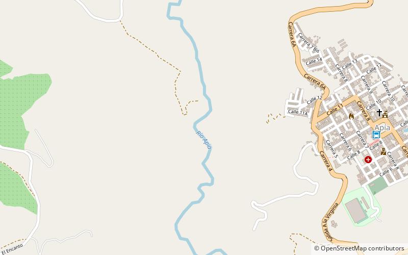
Apía is a town and municipality in the Department of Risaralda, Colombia. It is located at an elevation of 1,630 metres, about 60 km away from district capital Pereira in the valley of the Apia river. It has approximately 11,000 inhabitants according to the 2018 census. The town has excellent views over the Tatamá Hill which is part of the Tatamá Nature Park. ()
Location
Caldas
ContactAdd
Social media
Add